Newcastle to Downpatrick
Down
Newcastle to Downpatrick
Easy
7h
20,5km
+163m
-153m
Multi-day trek
Embed this item to access it offline
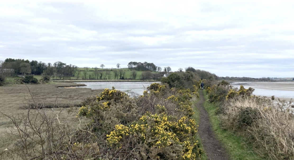
The first half of the way to St Patrick's is by the sea and the rivers that flow into it. The second half, which is not on the St Patrick's Way, takes in roads, some of which are busy and require careful attention. A better route for the end of the stage is under consideration.
4 points of interest
 Panoramic
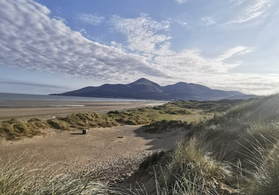
Murlough Beach
A long 5-mile beach of golden sand at the foot of the dune, very popular for swimming, sunbathing and walking.
Find out more here.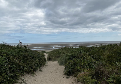 Panoramic
Murlough National Nature Reserve
This is an ideal spot for hiking among the sand dunes, on paths that preserve this natural seaside environment where birds are plentiful.
To find out more, click here: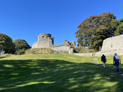 Historical
Dundrum Castle
Dundrum Castle was built by John de Courcy in the early 13th century, following his invasion of Uster. It was used to control access to Lecale from the west and south, as it stands atop a rocky hill with fine views to the south over Dundrum Bay and the Mourne Mountains.
To find out more Historical
Saint Patrick's Centre
Modern museum with multimedia exhibition on the life of St Patrick, craft shop and café.
Outside the museum is the end point of the St Patrick's Way, which began in Armagh, with the possibility of a stamp on the pilgrim's passport.
Find out more here.
Description
Leave Newcastle by the beach and continue along the dunes in a north-easterly direction for 2km until you reach a beach lookout post:
- Turn left onto the track that cuts through the dunes and cross the nature reserve, following the signs. In the middle of the dunes, you can reach a car park with toilets. As the path approaches a major road, turn right onto the track beside the Ballybannan River, which reaches a bridge after 1.2km.
- Cross the bridge to the left to cross to Dundrum (waymark).
- On leaving the town, at the picnic area on the main road, turn right along the river and onto the path that runs along an old railway line. Follow this narrow, signposted path until you reach a small stone bridge and some steps (3.5km) leading down to a road. Continue along the unmarked old railway track until the vegetation blocks the path. Go down to the right to join the fields alongside the river. Follow the pathless river to the bridge. Alternatively, you can go down the stairs, join the main road, turn right onto this road and reach the bridge.
- Turn right over the bridge and then immediately left onto Ballyrolly Road to the next junction (1km).
- Turn right onto the busy A25 road and follow it for 1.2km. At the crossroads signposted Drumaness (6 miles), turn left onto this quieter road until you reach the first crossroads (500m). Turn right, leaving behind Drumaness. Follow this narrow road with many bends for 1km. At the junction with a slightly larger road, turn right to reach a lake and continue until you cross the main A25 road again (800m).
- Cross over to join the cycle/pedestrian path that leads safely to Downpatrick (4km).
- At the leisure centre (on the right), turn left through the gate (Jobs & Benefits) and join the road and car park that leads to St Patrick's Centre at the foot of the cathedral.
- Departure : Assumption of Mary Church
- Arrival : Cathedral of the Holy Trinity
- Towns crossed : Down
Altimetric profile
Report a problem or an error
If you have found an error on this page or if you have noticed any problems during your hike, please report them to us here:

