26. Luxeuil region, Annegray loop, La Mer
Bourgogne-Franche-Comté
26. Luxeuil region, Annegray loop, La Mer
Medium
6h
13,5km
+310m
-310m
Embed this item to access it offline
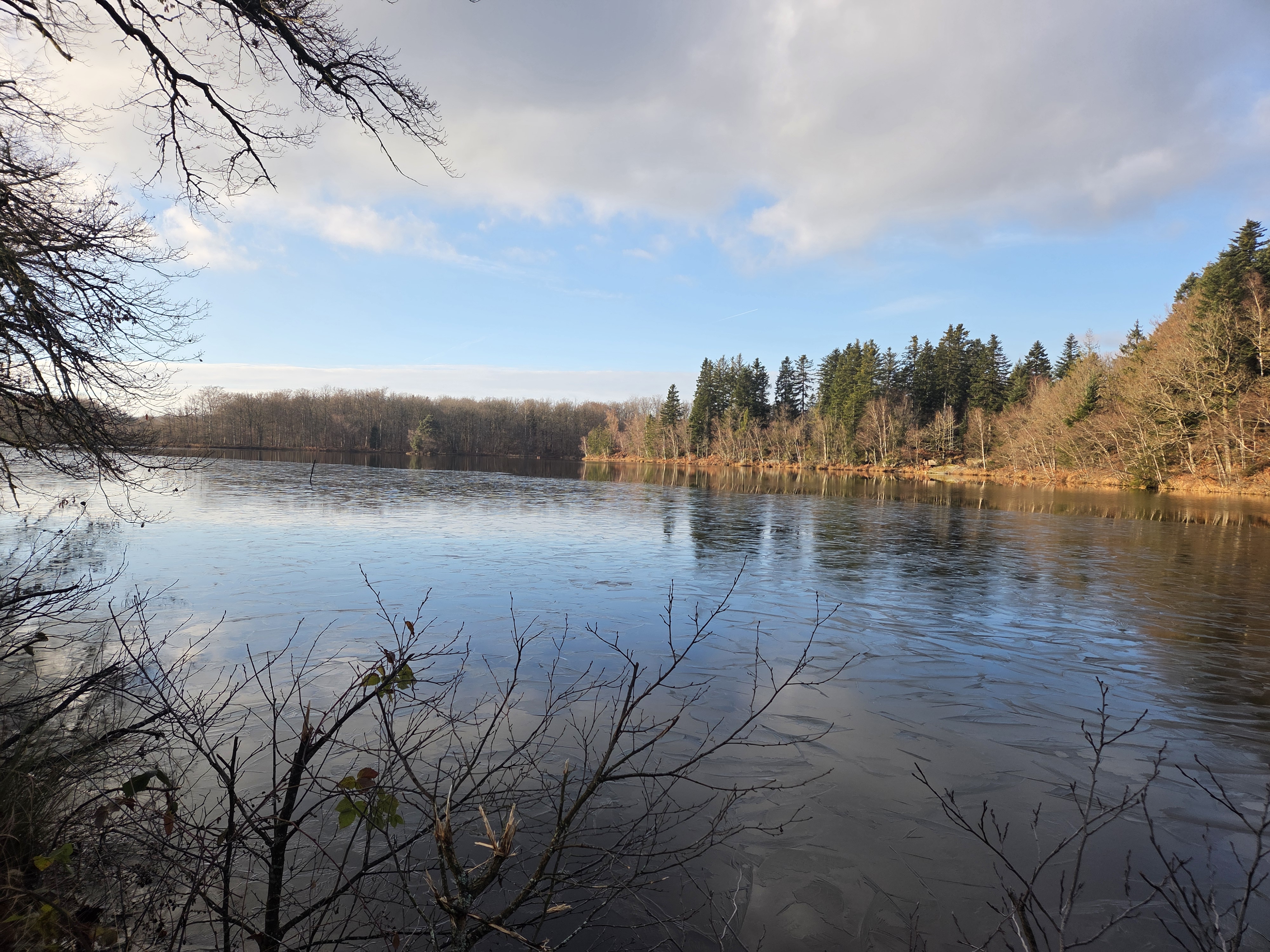
This loop passes through the region of 1,000 ponds, and it is clear that this name is well deserved. Forests, meadows, rivers and ponds: all the ingredients are there for a walk in a Natural 2000 area with its flora and fauna.
The route mainly runs through forest, passing close to Étang Plate Pierre (traces of millstone extraction). The first few kilometres (4.8 km) follow the Via Columbani (a connecting path to Basel).
The route mainly runs through forest, passing close to Étang Plate Pierre (traces of millstone extraction). The first few kilometres (4.8 km) follow the Via Columbani (a connecting path to Basel).
1 point of interest
 Cultural
Hamlet of La Mer, municipality of Faucogney-et-la-Mer.
Faucogney-et-la-Mer.
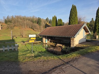
La Mer, a remote hamlet with around twenty houses, is located 4 km south-east of the centre of Faucogney. There are numerous hiking trails starting from this location.
Description
Starting in front of Saint-Colomban Chapel, head south-east towards the town hall square, turn left and continue to the calvary:
- Turn right and climb up to the crossroads at the edge of a clearing. Turn left and continue 200 metres south. At the crossroads, turn left and walk 300 metres eastwards until you reach a tarmac road.
- At this point, you can explore the traces of millstone extraction on the banks of the Étang Plate Pierre lake by walking there and back (300 metres in total). Continue southwards along the road. After a bend to the west and passing a farm, turn left onto the path in the forest which joins the road (200 metres) before continuing south.
- After 300 metres, turn left towards the east to walk along a first pond, then north before passing between two ponds. At the next crossroads, take the path on the right towards the south which joins a tarmac road. Pass the ruins of a mill and continue to the calvary. Turn left and follow the tarmac road eastwards for 1.2 km.
- Take a path on the left and pass in front of the Étang la Noz Charmoille pond. At the next crossroads (600m), after a farm and a pond on the right, turn right to join a small tarmac road.
- Turn left, cross the hamlet of Les Grévillons and continue along the path for 500 metres. At the two successive crossroads, turn right and follow the Étang des Grands Prés lake to reach La Mer. Take the D266 road heading north-west.
- At the crossroads at the end of the village, turn left and follow the road and then the path westwards to the hamlet of La Marceline.
- At the cross, after the hamlet, follow the road on the right and then the path to rejoin the starting point and return to Annegray town hall square.
- Departure : 70310 Annegray (Priory of Saint John the Baptist)
- Arrival : 70310 Annegray (Priory of Saint John the Baptist)
- Towns crossed : Bourgogne-Franche-Comté
Altimetric profile
Access and parking
The starting point is the Saint-Jean Baptiste priory.
The nearby car park on Place de la Mairie is accessible via the main street.
The nearby car park on Place de la Mairie is accessible via the main street.
Report a problem or an error
If you have found an error on this page or if you have noticed any problems during your hike, please report them to us here: