Way marking
All the national and regional routes that make up Via Columbani total about 8000km across 20 regions in 9 different countries.
For the most part, the Via Columbani is not waymarked, in part to reduce costs for local authorities, but also to reduce the carbon impact of waymarking (manufacture, installation and maintenance) and to preserve natural areas that are often overloaded with signage.
The Via Columbani is the first long distance prilgrimage path to fully digitally replace traditional markup:
- The website allows the pilgrim to prepare their walk: information, printing of the stages or downloading the route on their phone.
- The mobile application allows them to follow the path, even offline, to get information and to make reservations.
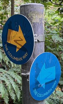
However, you will encounter the following markings at key locations:
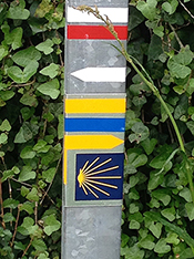
You will also encounter specific markings associated with local circuits
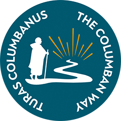
Ireland
France (around Luxeuil)

The Monk's Path is part of the Via Columbani. It offers a hike of about twenty kilometers connecting the significant places of Columbanism between Luxeuil and Annegray.
Italy (region of Bobbio)
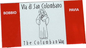
The Via di San Colombano is part of the Via Columbani. It offers a three-day hike between Pavia and Bobbio on a path traveled by the monks of Bobbio and perhaps Saint Colombanus himself.