Ste-Menehould to Clermont-en-Argonne
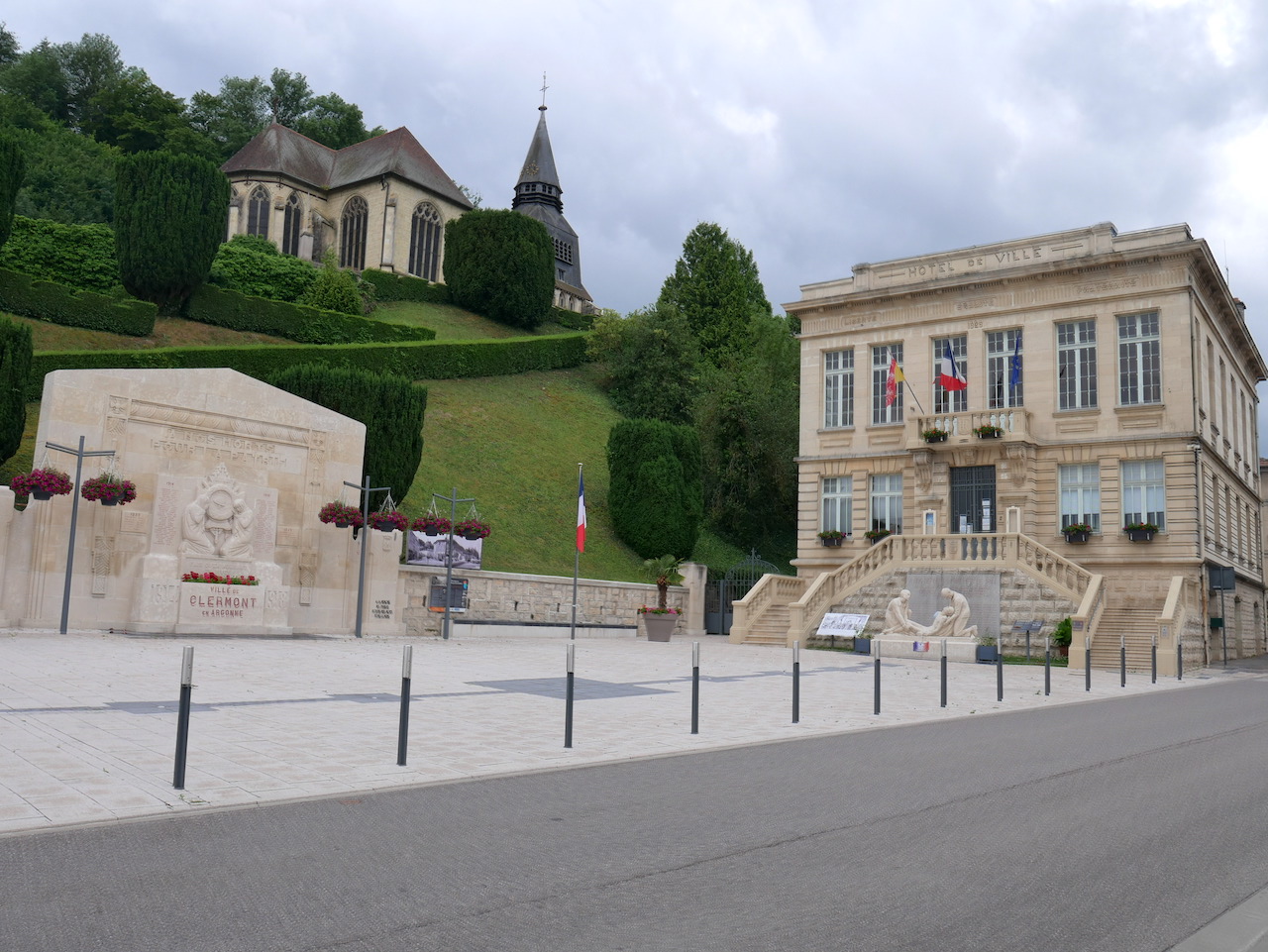
Grand Est
9. Ste-Menehould to Clermont-en-Argonne
Easy
4h
15,6km
+327m
-221m
Step
Embed this item to access it offline
During this stage the landscape changes from the vast cultures of Champagne you arrive in the forest of Argonne at the gates of Lorraine. A large part of your walk takes place in this forest. The pretty town of Clermont-en-Argonne will tell you its story.
4 points of interest
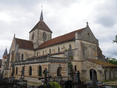
Église Notre-Dame à Sainte-Menehould - Image : Amis de saint Colomban TouristNotre-Dame Church in Sainte-Ménehould
The Church of Our Lady probably replaced the old castle on the heights of the fortified town. Dating from the 13th century, the church was enlarged in the 15th century and then in the 18th century.
The nave and the two aisles extend the transept. A set of chapels are visible.
The organ dates from the 17th century.
More details : Wikipedia city of Sainte-Ménehould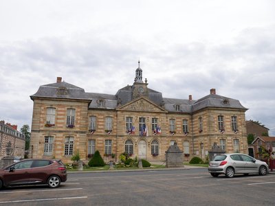
La mairie de Sainte-Menehould - Image : Amis de saint Colomban HistoricalHistory of Sainte-Menehould
The origins of the city are uncertain. The mound of Gaize is probably a place of pagan worship since ancient times, before hosting a castle. A town was formed as early as the 5th century on the banks of the river Auve and developed thanks to the resources of the cleared forest and agriculture. The town, often located in the border area, suffered many wars and sieges. It came under the control of the Counts of Champagne at the end of the 12th century, then under the French crown at the end of the following century. It then hosts relics of the saint whose name it bears, Menehould.
Burned down in 1719 and then rebuilt, it thus preserves an important 18th century architectural heritage. During the French Revolution, it was in this city that Louis XVI was recognized, who was then pursued, notably by Jean-Baptiste Drouet, and caught up with in Varennes, not far from there.
The city suffers a lot from the wars of 1870 but especially of 1914-1918, which devastates the region. Between 1945 and 1975, it experiences a weak but regular demographic development, as well as a rather important industry, then a slight decrease in population during the last thirty years.
More information: Wikipedia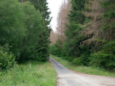
Les épicéas malades en bordure de la Via Columbani et une biche en spectatrice - Image : Amis de saint Colomban PanoramicThe forest of Sainte-Menehould
The spruce trees of the great forest of St. Menehould are not resistant to bark beetle invasion.
During your walk in the Great Eastern region you will encounter dried spruce forests. Beyond the natural dieback and droughts the bark beetle finds a favourable ground for its development.
Since the end of 2018, the only remedy consists in felling the diseased trees leaving large clearings in the forest and modifying the ecosystem by renewing the variety of shoots.
Be careful when crossing these forests during periods of felling with forestry machinery. Observe in the picture a doe at the edge of the road.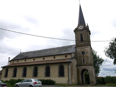
Église de la Nativité de la Bienheureuse Vierge-Marie à Les Islettes - Image : Amis de saint Colomban TouristChurch of the Nativity of the Blessed Virgin Mary at Les Islettes
The border between the Champagne and Lorraine regions passes to the west of the city.
The name of the Islettes would find its origin in a grouping of small islands at the time when the region was swampy and of difficult access, a natural border. In the 10th century it was already the border between the Holy German Empire and the Kingdom of France. A fiercely disputed territory in the centuries that followed, especially during the First World War. A memorial to the memory of the soldiers who disappeared from 1914 to 1918.
In the 18th century the presence of forests and abundant water favoured the installation of earthenware and glass factories, bringing prosperity to the town until the middle of the 20th century. The railway line that you follow intermittently from Saint-Hilaire-au-Temple has deserted the station since 1869.
A church is mentioned in the 17th century destroyed at the beginning of the 19th century it will be rebuilt in 1827.
Description
In front of Notre-Dame church, take the stairs to Dom Pérignon street, at the exit of the stairs take rue de l'Arquebuse crossing Dom Pérignon street, go down on your right at the crossroads rue Zoé Michel, stay on your right to go along the place du Général Leclerc, on your right rue Drouet D3, avenue Victor Hugo, rue de Verdun
- Turn right to take the railway bridge, left on chemin de l'Alleval, stay on the asphalt road, go under the old railway bridge, left at the exit of the bridge, follow the railway, straight ahead in the forest on an asphalt road, then on a stone path.
- Cross D 3 continue in the forest on the right at the crossroads, on the left at the junction with D 3 cross Islettes D 603
- At the exit of Les Islettes after 400 meters at the crossroads with D2e on the left then immediately on the right to follow a path parallel to D 603, turn left into the wood, at the exit of the wood straight on rue du Stade
- Right rue de Varennes D 998 straight on at the roundabout, right at the crossroads rue Thiers, take the stairs next to the restaurant at the crossroads to go up to the Saint-Didier church.
- Departure : Notre-Dame Church, rue du Cimetière, 51 800 Sainte-Menehould
- Arrival : Saint-Didier Church, 20 Rue Casimir Bonjour, 55120 Clermont-en-Argonne
- Towns crossed : Grand Est
Altimetric profile
Report a problem or an error
If you have found an error on this page or if you have noticed any problems during your hike, please report them to us here:


