Leitrim Lodge to Ott Track

Newry and Mourne
Leitrim Lodge to Ott Track
Difficult
4h
11,8km
+611m
-388m
Multi-day trek
Embed this item to access it offline
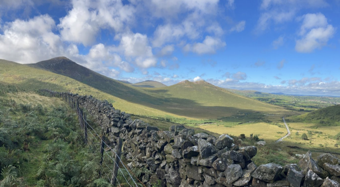
The wide tracks and narrow paths allow you to climb up to the heights, descend and go around them. Please note that the path up to the Spaltha summit (477m) no longer exists and you will have to make your own way up to a well-marked track further up.
1 point of interest
 Panoramic
Spaltha (477m)
Superb views from this summit on the edge of the Massif.
Description
From the car park, head east towards the foot of the mountains and climb the stone track on the left for 250m:
- Leave this wide track, which bends southwards, and turn eastwards left onto a path that climbs the slope towards a small pass. Cross the pass and descend into the next valley to a bridge that crosses the first stream. Depending on the water levels in the streams, (low level option and short route) follow the Rocky stream southwards and join the track 500m below, (high level option and long route), climb eastwards to reach another deep stream, climb it for 500m to find the easy crossing point (no bridge).
- Cross the stream to reach the wide track that runs down the valley parallel to the two streams. Descend this track, initially heading north (2km).
- Leave the track as it turns west and take the path (beacon) that runs north around the rocky summit of Hen Mountain (361m) for 1km. Cross a small stream and climb up its valley (500m) before skirting a spur and reaching a bridge over the Upper Ban stream (500m) along a very narrow path.
- Cross the bridge and climb towards the road. Take the track opposite (signposted) and follow the path beside the wall. After 200m, leave the path despite the markers and climb 120m eastwards on the slopes towards a small pass before the Spaltha summit (477m). Before the pass, reach a clearly visible and signposted track. Heading north-east, it passes the foot of the summit and then descends to a stone wall after 500m.
- Follow the wall to the right for 500m, avoiding wet areas in places, to climb to the pass between Butter Montain (492m) and Slievenamuck (504m). Leave the wall and follow the path that leads to Slievenamuck, a superb viewpoint.
- Head east down the path that quickly leads to the car park, a 120m climb.
- Departure : Camping
- Arrival : Parking
- Towns crossed : Newry and Mourne and Down
Altimetric profile
Report a problem or an error
If you have found an error on this page or if you have noticed any problems during your hike, please report them to us here:

