8. Blain to Marsac-sur-Don
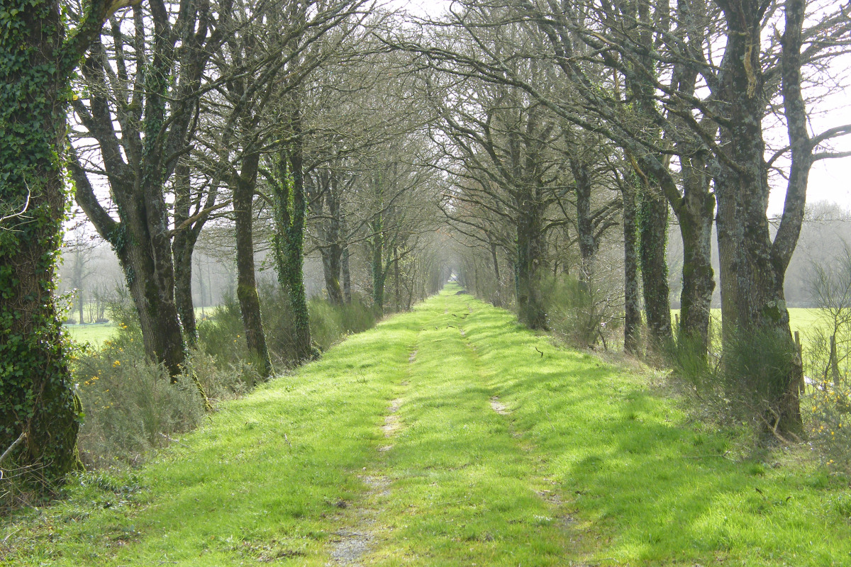
The Don is a river that originates in Maine-et-Loire, crosses the North of the Loire Atlantique and flows into the Vilaine. The Isac is another river of the Loire Atlantique, a tributary of the Vilaine, which was developed during the creation of the Nantes-Brest Canal. The route will be marked by rivers and will run alongside the Gâvre national forest. The small heritage can be seen through the many stone fences or wells whose cover is made of blue shale slabs (sometimes a single slab is enough!).
3 points of interest
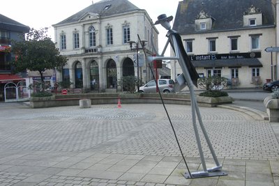
Le Pèlerin - Amis Bretons de Colomban CulturalThe Pilgrim
Blain has long seen the pilgrimage routes to Santiago de Compostela or the Mont St Michel cross paths. In 2018, Jo Le Nouveau created this work that reminds him of this.
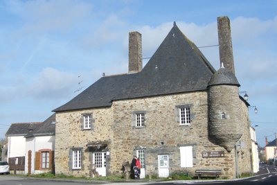
Musée de la forêt - Amis Bretons de Colomban HistoricalVillage of Le Gâvre
The Gâvre is intimately linked to the history of France and Brittany. Its castle was razed to the ground by Olivier de Clisson during the War of the Succession of Brittany in 1364.
The 4500ha state-owned forest is of great importance in the development of the region as shown by the old houses of the village such as the Forest Museum, installed in the "Maison du haut de la ville" built in schist in 1648.
At the end of the 19th century, two railway lines served Gâvre. The last trains stopped in 1976.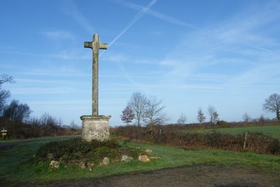
Croix des Quatre Contrées - Amis Bretons de Colomban CulturalThe Cross of the Four Lands
On the Roman road between Portus Bablini (Blain) and Condate (Rennes), on the edge of the forest of Gâvre stands this Latin cross, erected in 1850 in granite. Its trunk, of orthogonal section, is placed on a masonry base with a blue schist entablature. On each side of the base are engraved the names of the communes that meet in this place (Marsac, Vay, Gâvre and Guenouvri which is now part of the commune of Guéméné).
Description
Leave the Place Jean Guihard, on the left of the church, by the rue de Nantes. Then turn left on Rue du 8 mai. At the fork, turn right on the Route de Nozay. Follow this street until the roundabout at the exit of the town.
- Then turn left onto Rue Joseph Cugnot (the roundabout can be avoided by taking the path that runs along the fence of the carpentry company and the garden shop). In the bend, continue straight ahead on the bicycle path. After the gates and the crossing of the brook "Ruisseau du Courgeon", turn left onto the path (old railway track). Cross the D42 and, at the crossroads of the Maisonnette de Mespras (former gatekeeper's house), take the road on the right, then the first road on the left.
- At the entrance of the village of La Grée, go straight ahead, then take the first road on the right, to come back on the D42. Turn left towards Le Gâvre. Then take the first street on the left, then the track on the right to go along the pond on the right. At the end of the pond, join the Rue de l'Etang. Turn left, then right on the chemin du Pas de l'Octroi, to join the D42.
- Follow this street up to the Maison de la Forêt. Continue straight ahead on rue du Stade and leave the town. Continue up to the village of "Les Rôtis" in the direction of "Haut Luc". Before reaching this village, turn right at the crossroads with a calvary . Follow this road, cross the D3 and join the Croix des Quatre Contrées.
- At the crossroads after this calvary, turn right, cross the villages of " Pré Rocher ", Launay de Bourgueil " until you reach the D44. Turn left and join the church of Marsac-sur-Don.
- Departure : Eglise St Laurent-Place Jean Guihard, 44130, Blain
- Arrival : Eglise St Martin - Rue Isaie Rabu, 44170, Marsac-sur-Don
- Towns crossed : Pays de la Loire
Altimetric profile
Recommandations
This route follows the itinerary of the "Chemins du Mont St Michel". It is therefore possible to follow their signposts (silhouette of the Mont Blanc on a blue background).
Report a problem or an error
If you have found an error on this page or if you have noticed any problems during your hike, please report them to us here:

