7. from Hennebont to Redené
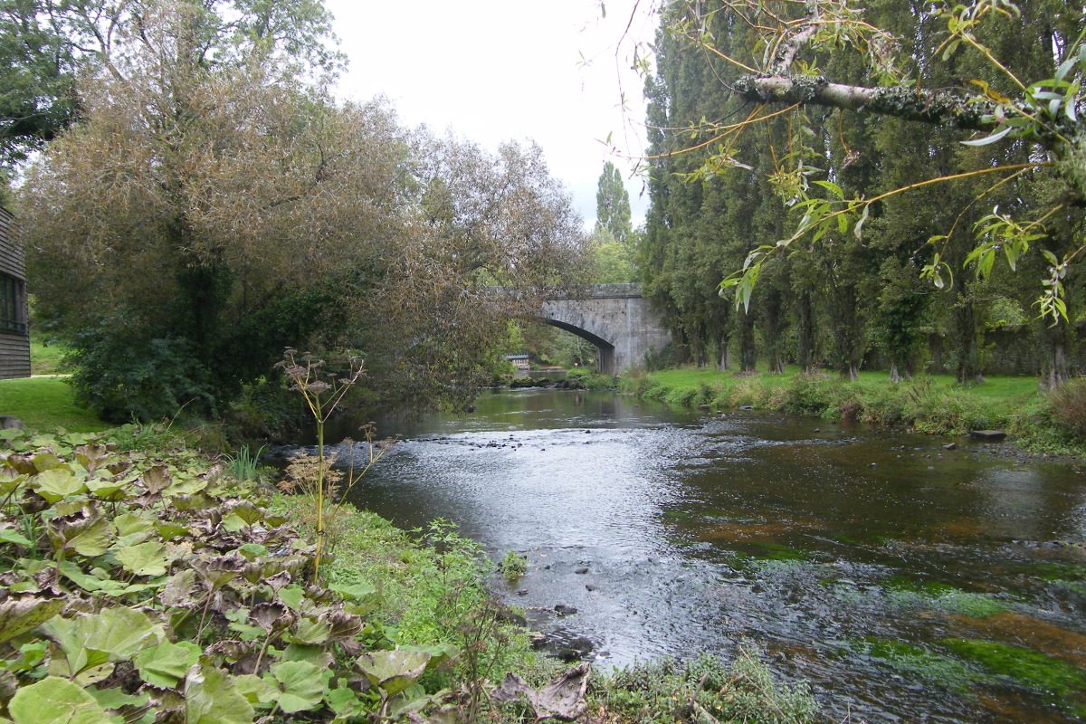
During this stage, which is common with the classic Tro Breiz, we will walk through the hinterland of Lorient. Starting from the Blavet valley, we will cross the Scorff valley, where the two rivers meet to form the Lorient harbour. The salmon going up the Scorff, a counting point is dedicated to them at the Bas Pont-Scorff near the Odyssaum.
2 points of interest
Pont Scorff - Place de la Maison des Princes - Amis Bretons de Colomban CulturalPont-Scorff
The ruins of the convent of the Hospitallers of St. John of Jerusalem, established on an ancient Roman road, remain at the Lower Scorff Bridge, near the river. The bridge St John existed in medieval times. The chaplaincy and the chapel are attested in 1160.
In the 12th and 12th centuries, Pont-Scorff was already the seat of a powerful jurisdiction that depended on the Duke of Brittany. Its built heritage remains important. Today it is a village of craftsmen.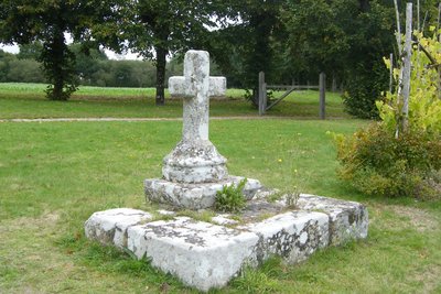
Calvaire de Lesbin - Pont-Scorff - Amis Bretons de Colomban CulturalVillage of Lesbin: Chapel and Calvary
The St Aubin chapel in the village of Lesbin was once the seat of the parish of Pont-scorff.
Built in 1610 following the League wars and modified in 1747, the Lesbin chapel, dedicated to Saint Aubin, was the parish church of Pont-Scorff until 1790. There are polychrome statues, the Way of the Cross and ex-voto hanging from the ceilings. The choir has important liturgical furnishings.
The ensemble is restored and maintained by the association for the protection of the chapels. It is surrounded by a cemetery, containing a calvary sculpted by René Quillevic and a tombstone dating from 1557.
Description
From the square in front of the basilica, walk down the square and head towards the Broerec'h gate in the ramparts.
- Go down the walled city and head towards the Blavet. Cross the river by the footbridge.
- At the exit of the footbridge, take opposite the street "rue de la vieille ville" which goes up. At the crossroads, take twice on the right the street "rue du Vieux Château". Continue up to the church of St Caradec.
- After the church turn left, the chemin du Hingair. Leave the marked out path at the car park by taking the fork on the left. Continue up to the road.
- Arrived at the road, take on the right, up to the next crossroads. Turn left towards the village of Mané El Cuff.
- After the village, the track has disappeared. It is necessary to cross the field going up, up to the wood to find the path again. Take it on the left up to the road.
- Take the road on the left up to the road D7698. Follow this road on the right up to the roundabout and turn on the left in front of the Poteau Rouge electricity station.
- After the substation, take the road on the left. After the HT lines, take the road on the left towards the village of St Coner. Continue on your right up to the village of Penhouët. After Penhouët, continue to the D769.
- After crossing the D769, continue up to the crossroads and take the track on your right towards St Séverin. Turn left onto the D26.
- After crossing the brook, take the road on the left towards the village of Moustoiric. Continue straight ahead up to the road near Kermoisan.
- Turn left, then right to go down towards Kerbellec. Continue up to the village of Kerleau.
- Arrived at the D26, take the road opposite on the right towards Kergroas. At the crossroads turn left up to the Bas Pont-Scorff.
- At the chapel, go straight ahead, the road going down towards Scorff and the Roman bridge.
- Go up the street of the old bridge, then the stairs to the square of the Maison des Princes. Cross Pont-Scorff by the streets Terrien and Dr Rialland up to the village of Lesbin.
- At the Calvary turn right towards the chapel and continue straight ahead.
- Before the D6, turn left towards Nocunolé. Continue up to Kerleau.
- At the exit of Kerleau, turn right to Kerganaouen. Hang on the right until the D6.
- Take the D6 on the left up to the Poteau de Rédené crossroads. Turn left and join the church square.
- Departure : Basilique ND de Paradis, Place Maréchal Foch, 56700 ,Hennebont
- Arrival : Church Square, 29300, Redéné
- Towns crossed : Bretagne
Altimetric profile
Transport
The modes of transport in Brittany are grouped on Breizhgo and Mobibreizh.
Report a problem or an error
If you have found an error on this page or if you have noticed any problems during your hike, please report them to us here: