Scarva to Newry
Banbridge
Scarva to Newry
Easy
6h
19,6km
+135m
-152m
Multi-day trek
Embed this item to access it offline
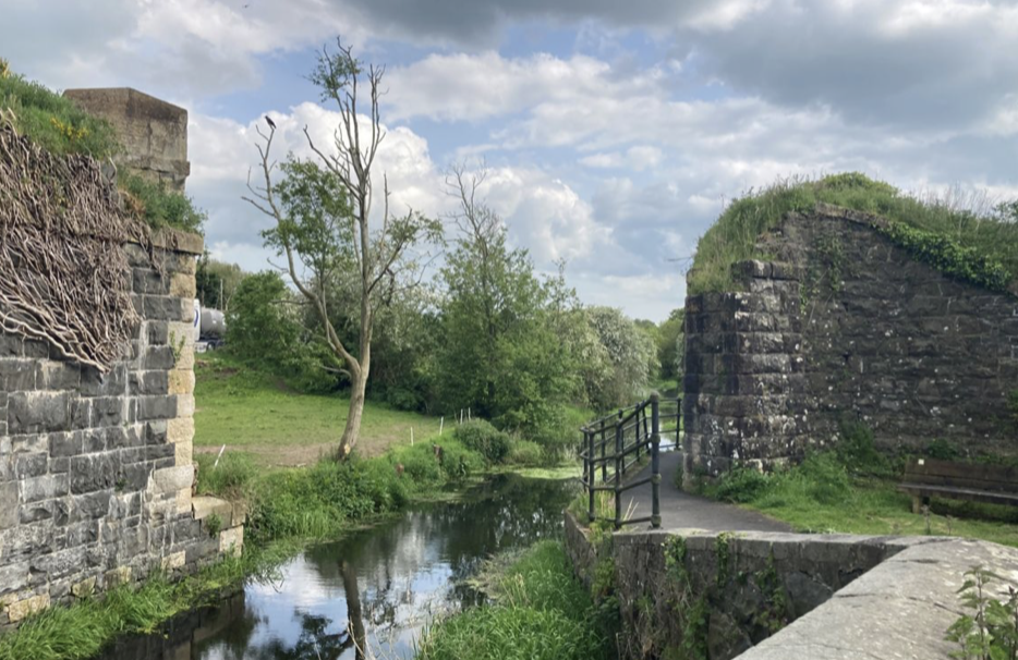
The canal-side path offers cool shade under the shelter of trees before arriving in the large town of Newry, one of the oldest in Northern Ireland, founded in 1144.
Description
From the station road, take the west bank of the canal and follow the tarmac track south (signposted) for 1.5km:
- At Shark Lake, continue south on the track between the railway line and the canal, which also runs alongside the lake. Continue in this direction for 2km to reach the village of Poyntzpass.
- Cross the road and continue opposite (beacon) for 3km on the small road that runs alongside the canal on the same bank, passing under the railway line once.
- At the crossroads with a major road, leave the bridge on your left and continue straight ahead for 2km along cycle/pedestrian path no. 9, which passes under the railway again and continues along the west bank of the canal.
- Follow the path along a major road and cross the hamlet of Jerrettspass after 600m. Continue along the track, which passes under a small road after 2km and then under the A1 motorway.
- Continue along the canal-side track for 6km to the Sugar Island bridge, recognisable by its statue of a worker with a shovel.
- Turn left, cross the bridge over the Newry Canal and cross the island to the next bridge over the River Newry. Before the bridge, turn right and then left over the next bridge in front of the town hall and its old artillery cannon. Continue along Hill Street for 300m to reach the cathedral, the finishing point.
- Departure : Saint Matthew's Church
- Arrival : Cathedral
- Towns crossed : Banbridge and Newry and Mourne
Altimetric profile
Report a problem or an error
If you have found an error on this page or if you have noticed any problems during your hike, please report them to us here:

