6. from St Méen le Grand to Mauron
During a large part of this stage, we will take an ancient Roman road from Rieux to Corseul. In this area it is known as the "route de Paimpont" or "chemin des moines". This route joined the abbeys of St Méen and Paimpont and was therefore used by the monks. It is sometimes presented as a road, or as a tree-lined path, or as a path. It is now part of the "Sentier des 3 abbeys" (to find out more...). The route will be marked by old bread ovens and numerous wayside crosses, more or less old, some well maintained, others lying down or in very poor condition.
2 points of interest
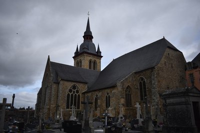
Abbaye de St Méen le Grand - Amis Bretons de Colomban CulturalThe Abbey of St Méen
The Abbey of Saint-Méen is the oldest abbey of Ille et Vilaine after Saint-Mélaine in Rennes and was founded in the 6th century by Méwen. It was founded in the 6th century by Méwen and was destroyed several times, then the Abbot Hingueton undertook in the 11th century to rebuild it on its present site. It preserves a 12th century Romanesque wall as well as 14th and 15th century frescoes depicting the main stages in the life of the holy founder. The former abbey of Saint-Méen, now the parish church, houses one of the oldest lying down beds in Brittany (11th century). It is said to be the lid of the tomb of Saint Méen. Since 1990, it has been classified as a Historic Monument in its entirety.
In the adjoining cemetery is buried Louison Bobet, winner of the Tour de France in 1953, 1954 and 1955 and world champion in 1954.
To find out more...
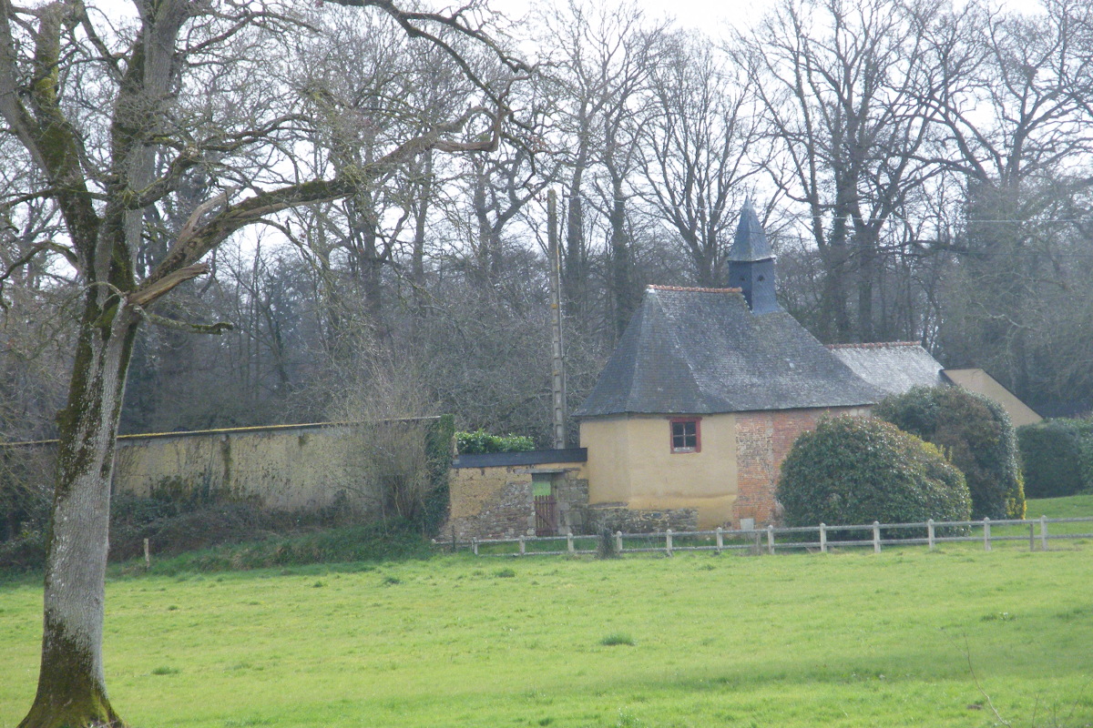
Chapelle – Château des Gravelles - Amis Bretons de Colomban HistoricalGravelles Castle
The Château des Gravelles, located on the route de Gaël. It has a turret and two pavilions. It has a private chapel with bell tower. Property of Georget Beschart in 1449, the chapel was founded of masses in the 18th century. Property of the Beschart family in 1449 and 1513.
Description
From the abbey square, join the D166 and turn right. After passing the gendarmerie, turn left into the rue de la résidence du Parc. Pass the old railway, the four-lane road and at the village of Les Tertres, turn right towards the Château des Gravelles.
- At the crossroads, turn left, go past the castle and follow the "chemin des moines". Continue on this path which can be a road, a path lined with trees or a footpath up to the D30.
- Opposite, slightly to the left, take the road in the direction of the village of Ville ès Borgnes. After the village, continue on the path and cross the Meu by the metal footbridge. In the village of La Longrais, turn right, then right again at the next crossroads. (We leave here, the chemin des Moines)
- At the Calvary of the Champ Picard, turn left up to the D773.
- Turn left up to the village of La Marguenais. Take on the right the road in front of the house. At the next crossroads, turn right, then left up to the communal road.
- At the road, turn left then right towards the village of la Tertrais. After this village, in the bend, take the track on the right and join St Léry. Cross the village and continue towards Mauron.
- Departure : Place du général De Gaulle - Abbey - 35290 -St Méen le Grand
- Arrival : Rue de Brambily – 56430 - Mauron
- Towns crossed : Bretagne
Altimetric profile
Transport
The modes of transport in Brittany are grouped on Breizhgo and Mobibreizh.
Report a problem or an error
If you have found an error on this page or if you have noticed any problems during your hike, please report them to us here: