9. from Plélan le Grand to Talensac
The Serein brook has its source at the Etang du Trécoët, near Plélan-le-Grand. It flows into the Meu near Talensac. We will therefore follow its course throughout the stage, sometimes following it as closely as possible, sometimes following the ridge lines where the purple shale rocks outcrop. The landscape will change from agricultural areas to moors or forests.
Description
From the church square, go up the rue nationale and, after passing the town hall, take the rue de la Forêt on the left, then the rue de Montfort on the right. Follow this street, then the path that continues it in the direction of the wind farm. After the first windmill, continue along the path, crossing the D61, and, at the first crossroads, take the path on the right which immediately branches off to the left. Continue by passing between the wind turbines.
- At the place called Le Chesnas, take the road to the right and take the track to the left after the houses. In the curve of the path, before reaching the training track, turn right into the path. (we will follow the yellow and red markings until the end of the stage).
- For the passage of the brook at the exit of the ponds, follow the yellow and red beaconing (fording on the rocks along the rocks). Go up towards the Brunetais and take the path on the left. Go down towards the brook and turn right (yellow and red markings) - Take the marked paths to avoid the private farm roads - Follow the course of the Serein.
- When you arrive at the pond of Gué Charet, the footbridge which allowed you to cross the brook having been destroyed, take the road which rises on the left to go around by the forest (follow the yellow and red beaconing) and find the Serein.
- Follow the yellow and red markings along the Etunel pond - The descent on the dike is a little acrobatic for a man of the plains - But the chain is there... and at the exit a "hiker's hut" awaits you. Continue on the path, then on the road to La Violais.
- Take the track on the left, just before the village and, arrived on the D40, turn right towards Monterfil.
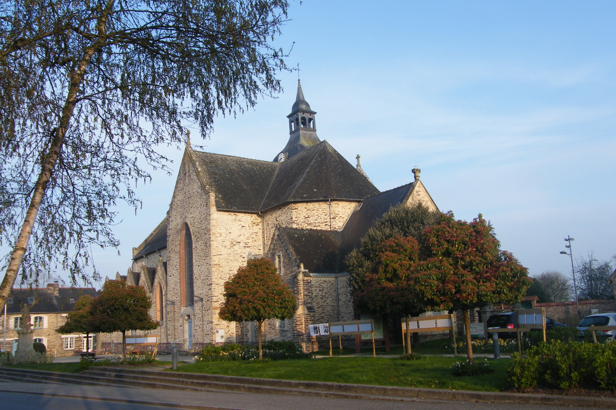
- Cross Monterfil by passing to the right of the church and continue up to the crossroads of La Bétangeais. Take the road on the right and the track on the right after the leisure park then follow the yellow and red markings . At the road near La Hattais, the path takes a few meters further up on the left. Follow it up to La Movenais. Go through the village, then turn right at the crossroads. In the village of Ménilou, turn right before the first house, take the path, cross the footbridge and take the path on the left. Cross the D69 and continue on the path. You have the possibility to cross the Serein, either by ford or by the adjoining footbridge. Go up to Triéneuc. Cross the D69 then take the path on the right. Follow this path (yellow and red markings) until the village of Talensac.
- Departure : Place de l'église - 35380 -Plélan-le-Grand
- Arrival : Place de l'église - 35160 - Talensac
- Towns crossed : Bretagne
Altimetric profile
Recommandations
This stage includes several passages a little more "sporty": crossing rivers by ford or on logs, passages on rocks with or without the help of chains.
Transport
The modes of transport in Brittany are grouped on Breizhgo and Mobibreizh.
Report a problem or an error
If you have found an error on this page or if you have noticed any problems during your hike, please report them to us here: