Stradella to Canevino
Lombardia
15. Stradella to Canevino
Difficult
10h
24,4km
+1015m
-626m
Step
Embed this item to access it offline
Once the plain is finished, the path gradually rises to altitude with an accentuated relief and vegetation that evolves in relation to vines throughout the route.
9 points of interest
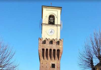
Torre civica HistoricalCivic tower
The civic tower, the only remnant of the castle from the late Middle Ages 1390, suffered extensive damage during the Napoleonic period and was destroyed in 1845.
Chiesa San Michele - Amis St Colomban CulturalChurch of St Michael Archangel
The church of Montacuto, now Montù Beccaria, was built as a parish church under the title of Saint Michael the Archangel in August 1303 by Boniface VIII, at the request of Count Manfredi Beccaria.
Castello di Montù Beccaria - Amis St Colomban HistoricalCastle of Montù Beccaria
The hill of Montù Beccaria called Castellazo has certainly been fortified. A college built in the 17th century by the Barnabiti replaced this castle using part of the walls, which today are almost impossible to identify; only a few traces of the old defensive structure remain at the foot of the walls (parts of towers, perhaps a keep, and moats).
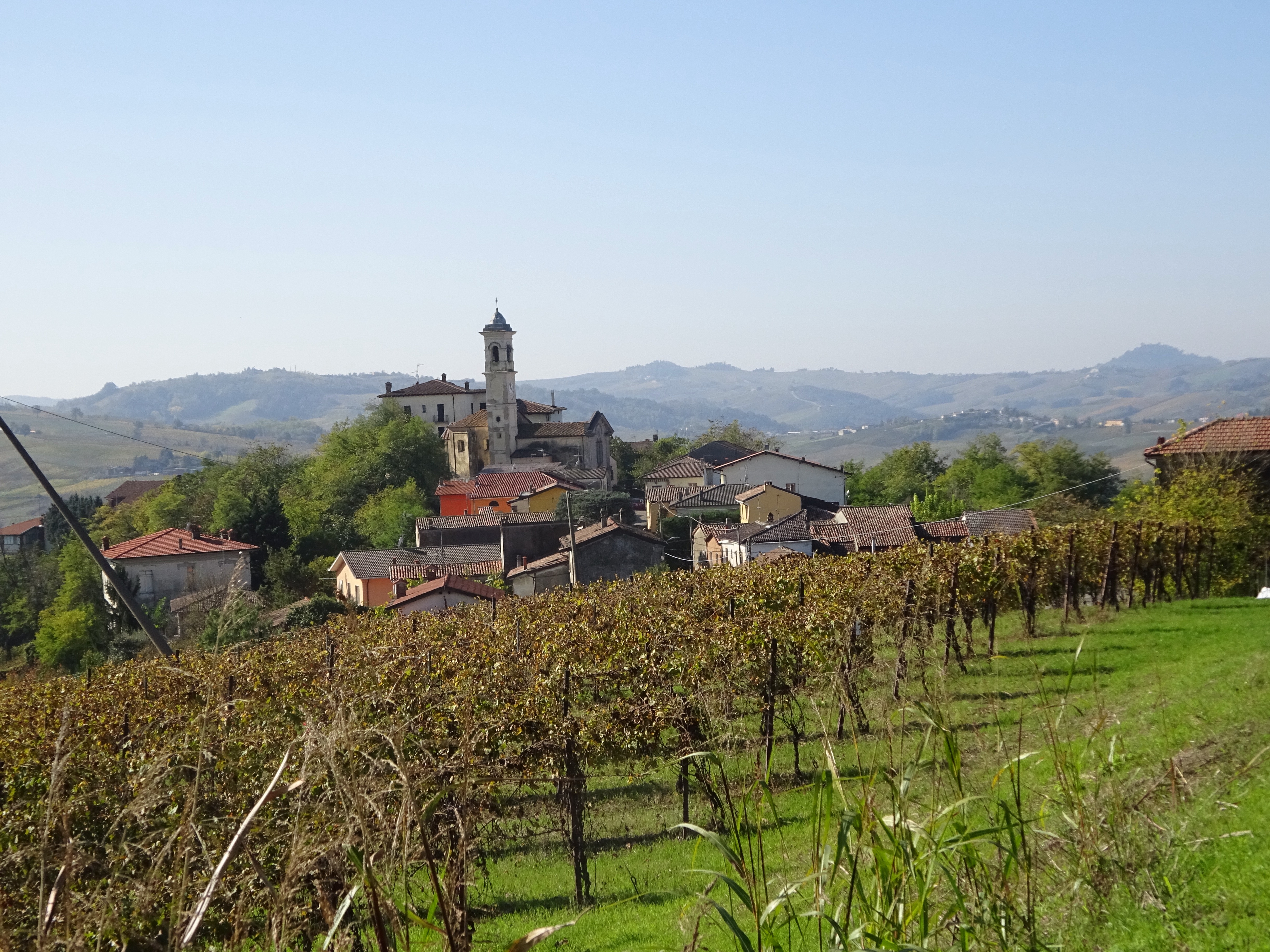
Donelasco - simon.derache PanoramicPanoramic view towards Donelasco
A mountain village in a vineyard landscape.
Donelasco - Amis St Colomban PanoramicPanoramic view towards Donelasco
A mountain village in a vineyard landscape.
Chiesa Santa Maria e torre HistoricalChurch of Santa Maria del Carmine and tower
Soriasco, probably of Roman origin, was essentially a fortified village in the 11th century. The castle was destroyed in 1215/1216 by the Piacentini and was never rebuilt. One of these towers, built in the 12th century and restored in 1412, is today the largest fortified presence in the area.
Soriasco - Amis St Colomban PanoramicViewpoint on Soriasco
View of Soriasco from the vineyards to the south.
Chiesa San Nicola CulturalChurch of San Nicola di Bari
The Baroque church dates back to the early 17th century. The village is located on a highly visible promontory.
Canevino - Amis St Colomban St ColumbanViewpoint on Canevino
On the lands of Saint Colomban from Golferenzo with a view of Canevino.
Description
From Piazza Vittorio Veneto, follow the east side of Corso XXVI Aprile and then via Cesare Battisti to the roundabout:
- Turn right (via Giuseppe di Vittorio) then take the first street on the left (viale Cervi followed by Via Brodolini) until its end at the exit of the city. Turn right on the track that goes up the Torrente Versa valley in the vineyards. At the crossroads with the SP134, turn left onto this road towards the hills, cross the hamlet of Casa Bianca and then climb up to the top of the ridge line that dominates the Torrente Versa valley.
- At the roundabout at the entrance to Montu Beccaria, turn right to cross the village. In the centre, go down with the SP134 (via Roma) which crosses the SP43. At the crossroads, follow on the left the SP43 which goes up, turn right at the next crossroads (direction Poggiolo) and cross the hamlet of Castagnola. This small road follows the rising ridge line in the vineyards.
- In a yaw on the left of the SP43, continue in the axis to find a road (Friazone Guastona) further down at Casa Bersagliere. Continue until the crossroads with the SP172 (cemetery), turn right and go down towards the village of Donelasco. At the crossroads with the street that goes up to the church, leave SP172 and go down the path to the left in the vineyards that leads to the bottom of the hamlet of Valdamonte. Go up to the center past a chapel and turn right on SP189. In a sharp bend to the right of the road, turn left into the dirt road that joins SP42 and the hamlet of Soriasco.
- In the centre after the castle, take the small road on the right. This road climbs regularly in the vineyards. At the first bend, continue to the right on the dirt road that turns and climbs into the vineyards. After a passage in the forest, turn left to go up to the village of Golferenzo (via dei Rivoni), continue along via Roma in the village and turn right to join the SP153. After the first bend, turn right to join the road below. At the last junction marked by the junction with the SP41, turn left on this road until the next junction on the right with the SP40.
- Turn right and then further left on the path in the vineyards. Cross a stream on a bridge, turn left at the next crossing and join the SP40 which goes up to the right towards the hamlet of Colombara. At the entrance before the bend of the road, turn right down the path through the vineyards to the creek. After the bridge, turn left towards SP201 and the hamlet of Caseo.
- At the war memorial, turn left into Via Giuseppe Zanini, which goes up to Canevino.
- Departure : Church of Santi Nabore e Felice, piazza Vittorio Veneto 30, 27049 Stradella
- Arrival : Église Notre-Dame de l'Assomption, 27040 Canevino
- Towns crossed : Lombardia
Altimetric profile
Report a problem or an error
If you have found an error on this page or if you have noticed any problems during your hike, please report them to us here:
Close by13
- Information
- Restauration

