18. Gemersheim to Wörth am Rhein
4 points of interest
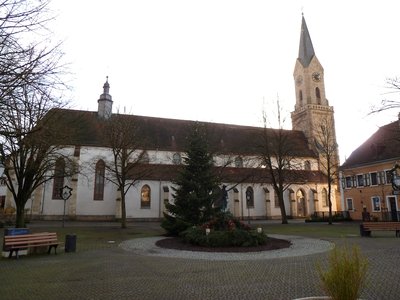
Église Sankt Jakobus à Germersheim - Wikimedia Commons P170 - Eigenes Werk TouristSaint-Jackobus Church (St. James) à Germersheim
The eventful history of the town of Germersheim - mainly marked by the wars in this border region and by the army - can be found in the Catholic parish church of St. Jacobus. Over the centuries, the voters of the Palatinate, the French and finally the Bavarians have left their mark. The church of St. Jacobus in Germersheim is part of a larger monastic complex of the Franciscans, who used it between 1756 and 1793, before they were expelled by the French revolutionary troops. At the beginning of the 19th century the monastery was converted into a prison and became a student residence in 1965. The monastery garden, the cloister and the former refectory, now the parish hall, are also preserved.
The choir of the abbey church is one of the last Gothic choirs in the Palatinate.
More info at: Wikipedia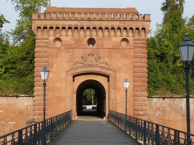
Porte d'entrée de la Forteresse de Germersheim - Wikimedia Commons Immanuel GIEL HistoricalGateway to the Fortress of Gemersheim
In the years 1834 to 1861, the imposing fortress of Germersheim was built in the name of the Bavarian King Ludwig I as a "bulwark against France". The largest Bavarian fortress outside Bavaria still shines in all its splendour today. Germersheim was of strategic importance in the war of 1870/71, as it was from here that the operations of the 3rd Prussian Army under Crown Prince Friedrich began.
Further information: Südpfalz-Tourismus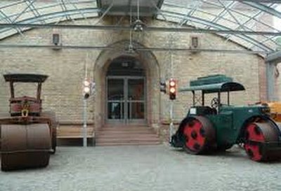
Une salle du Musée des Routes à Germersheim - Wikimedia Commons Lutz Lange PanoramicGerman Road Museum Gemersheim
The German Road Museum is located in the former armoury of the fortified town of Germersheim am Rhein. The building was part of the great fortress of Germersheim, which was built between 1834 and 1861. The listed building was completely renovated in 1990 and converted into a museum. It is one of the three museums in Europe that deal with the history of road construction.
The exhibition of the German Road Museum shows the development of road construction from the early tracks to the high-tech highway.
A separate section is devoted to the subject of "bridges" and "tunnels".
Further information: Road Museum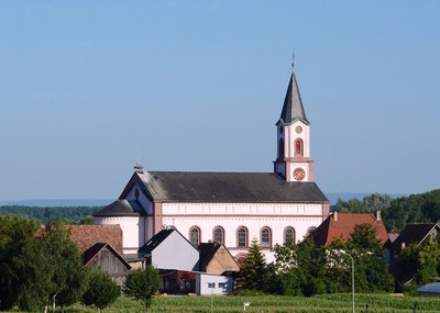
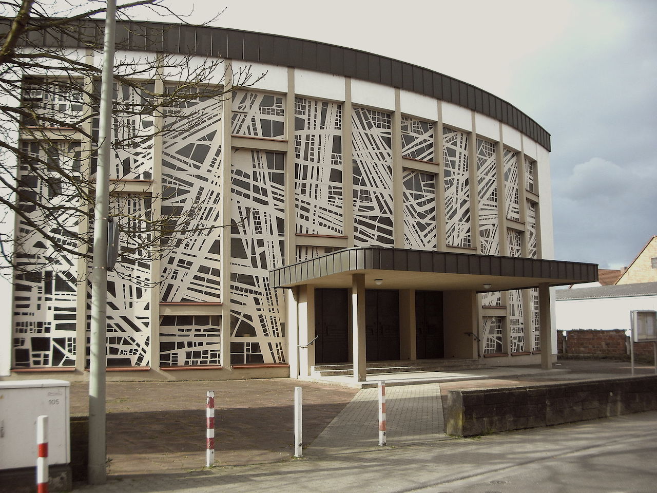
Église St. Dionysius à Jockgrim - Pfarrei Rheinzaben.de TouristSt. Dionysius Church in Jockgrim
The old church of Jockgrim was consecrated in 1788 and is situated on the Via Columbani at the exit of the village on a mound that was transformed into a natural castle by the bishops of Speyer at an early date. On 5 November 1944 a bomb left only the outer walls and the tower. The church was rebuilt and consecrated in 1951.
St. Dionysius (Dionysius the Areopagite) was converted to the faith of Jesus Christ by the apostle St. Paul.
He was called Areopagite in the district of the city where he lived. The Areopagus was the district of Mars, because there was a temple dedicated to this god. The Athenians gave the different parts of the city the name of the god who was honored; so it was called Areopagus because Ares is one of the names of Mars.
Description
- Turn right on the Rhine and follow the river for 12,000 metres.
- Turn right onto L549 Rheinstrasse in the direction of Leimersheimn. After crossing the river Michelbach third street on the left Abraham-Weil-Stasse, at the end of the street on the right Daimlerstrasse, on the left L 549
- Left before the fire station, right Am Otterbach, follow the Otterbach brook, after the last houses on the left at the crossroads of 4 roads, take the bridge to cross B 9
- After the bridge turn right and then left and right Weissdorngraben, third road on the left in front of a vineyard cross Weisenweg, right in front of the sports field and left at the parking lot,
- Left cycle path L 540, at the entrance to Jockgrim turn left into Otterbachstrasse, right straight on Römerbadstrasse, Ludwigstrasse,
- Turn left onto L 540 Ludwigstrasse, Worther Strasse, Luitpoldstrasse in Wörth-am-Rhein and you will arrive in front of St. Aegidius Church.
- Departure : St. Jacobus Church, Kloster Strasse 13, 76726, Germersheim
- Arrival : Église Saint-Ägidius Church, Mozartstr. 19, 76744 Wörth am Rhein
- Towns crossed : Rheinland-Pfalz
Altimetric profile
Transport
Report a problem or an error
If you have found an error on this page or if you have noticed any problems during your hike, please report them to us here:

