From Avranches to Petit-Celland
Normandie
5. From Avranches to Petit-Celland
Easy
4h30
17,9km
+465m
-391m
Step
Embed this item to access it offline
A complete change of atmosphere from the previous stage. No more salt meadows but meadows and woods, no more dykes at constant altitude but steep paths, no more sheep but cows and horses. We enter Normandy by following the river Sée.
5 points of interest
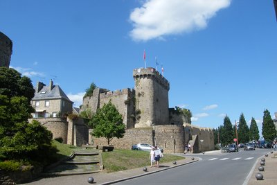
Le donjon - Amis Bretons de Colomban HistoricalAvranches
Avranches was originally the capital of the Abrincates, and in the 5th century became the seat of a bishopric. Its most famous bishop in the 10th century was Aubert, who founded Mont St Michel.
In July 1954, the Scriptorial, the museum of the manuscripts of Mont St Michel, was inaugurated.
To find out more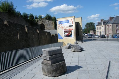
Entrée du Scriptorial - Amis Bretons de Colomban CulturalScriptorial d’Avranches
The Scriptorial d'Avranches, or Musée des Manuscrits du Mont, opened its doors in 2006. It presents various manuscripts copied and illuminated on the Mount between the 10th and 12th centuries. It also presents various pieces found during archaeological research.
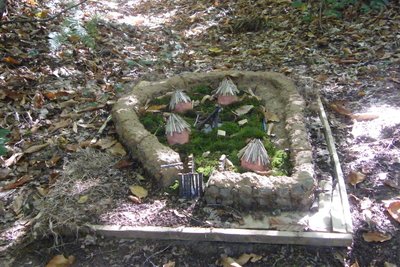
Maquette de l’oppidum réalisée par « Arts et Chemins » - Amis Bretons de Colomban HistoricalOppidum du Chatelier
This Gallic oppidum on the territory of the Abrincates covers some twenty hectares. It is situated at an altitude of 170 metres on a ridge overlooking the Sée valley by 80 metres. The Abricantes tribe gave its name to the city of Avranches.
To find out more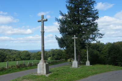
Les Trois Croix - Amis Bretons de Colomban HistoricalThe Three Crosses
Originally made of wood (in 1814) and then granite, these three crosses from 1899 were erected in honour of victims between the Chouans and the Republicans: (two refractory priests for the first cross, Victor-Philippe de Cantilly killed on 2 May 1796 for the second and Gabriel-Fleury Desfeux and Louis-George de Gouvetz for the third).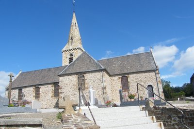
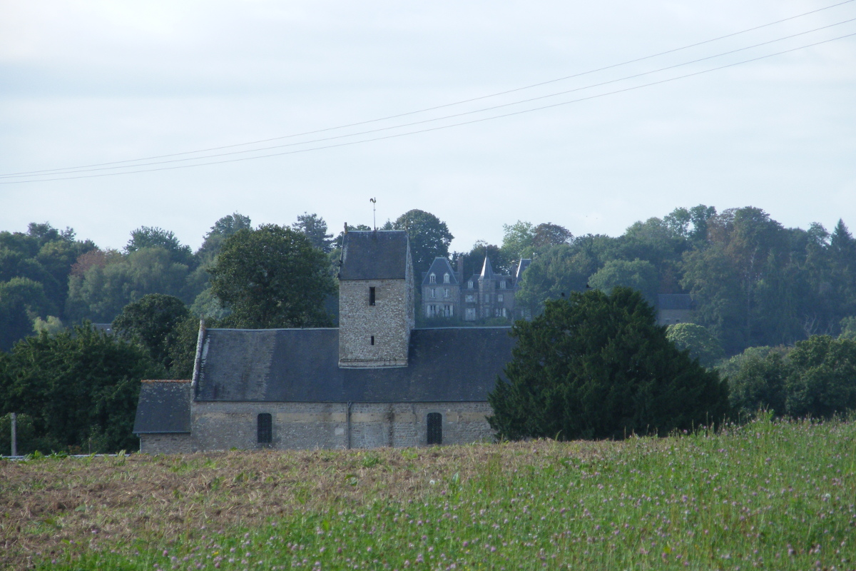
Eglise du Petit Celland - Amis Bretons de Colomban CulturalLe Petit-Celland
The church was built in the 10th century. It was almost entirely rebuilt after the bishop visited in 1749 and judged it to be in a poor state of repair, leaving only the base of the bell tower and a keystone bearing the date 1607. It was enlarged in the 19th century and the spire built in 1901. It houses a number of objects listed as historic monuments.
https://www.wikimanche.fr/Le_Petit-Celland
Description
Leave Avranches down rue du Grand Tertre, then turn right onto rue de la Liberté. Before the retirement home, turn right onto chemin de Pivette. At the fork in the road, turn left onto the dead-end road. Follow the path along the housing estate. (Follow the red/white signs):
- Take the track on the right just before the wood and follow it until you reach a street. Turn left, then left again, onto the road leading to the Méhenry farm. Continue along the track until you reach a road. Turn right.
- At the crossroads, turn right onto the track that runs alongside the leisure centre pond. At the road, turn left. On leaving the village of Le Hamel, at the crossroads with a calvary, turn left onto the road and then the track that runs alongside it. At the fork after entering the wood, turn left and go down to the D104. Turn right and, after passing the Palorette mill, turn right into the village of St Brice.
- Turn left at the church square, then right at the fork in the road (red/white signs).
- After passing the calvary, turn left onto the track. Continue straight on, either on this path or on the tarmac sections, until you reach the village of Les Forges. Go through the hamlet, leaving the access road, and take the track on the right. Head up towards the villages of La Chatterie and L'Eurtre.
- At the crossroads, turn left onto the Hardouin track. Continue along this path, then, as it bends to the right, turn left onto the path under the trees. Follow this to the pond. Cross the pond dike and turn left. Continue as far as the village of La Tessardière.
- Go through the village and, at the crossroads, turn left for a few metres and then right onto the path that bends into a hairpin bend. At the road, turn right to reach Le Petit Celland.
- Departure : Scriptorium,Place d’Estetouville, 50300, Avranches
- Arrival : Place de l’église, 50370, Petit Celland
- Towns crossed : Normandie
Altimetric profile
Report a problem or an error
If you have found an error on this page or if you have noticed any problems during your hike, please report them to us here:

