from Pont-d'Ouilly to Falaise
Normandie
10. from Pont-d'Ouilly to Falaise
Medium
5h30
20,5km
+394m
-311m
Step
Embed this item to access it offline
A stopover in the heart of Normandy and, more specifically, Suisse Normande. You'll pass through villages and hamlets that bear traces of both ancient and more recent history.
5 points of interest
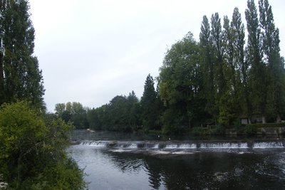
L’Orne à Pont-d’Ouilly - Amis Bretons de Colomban CulturalPont-d’Ouilly
Located in the heart of the Suisse Normande region and at the confluence of the Noireau and Orne rivers, Pont-d'Ouilly has been one of the few crossing points of the Orne on the road from Paris and Rouen to Brittany since the 12th century. Unfortunately, the 1944 bombing raids to destroy the bridge caused extensive damage, and the region was declared a disaster area.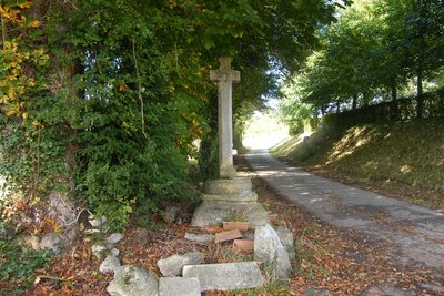
La Croix – Martigny sur l’Ante - Amis Bretons de Colomban CulturalMartigny-sur-l’Ante
First of all, the place known as "La Croix", where a cross is located on the side of the road. It dates back to 1603 and was restored in 1862 according to the markings on its base.
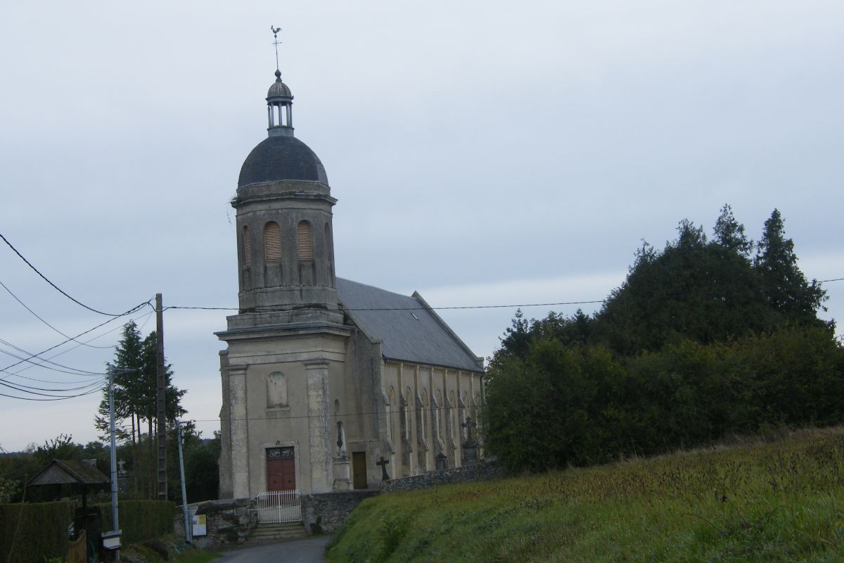
Then, at the place known as "l'église", there is a château, a presbytery and a recently restored chapel.
The Gothic-style chapel dates from the 13th century and is dedicated to St Martin de Tours. Inside, an 18th-century altar and altarpiece from the Hôtel-Dieu in Falaise, listed as a Historic Monument in 1976, were installed in 1924.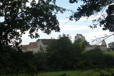
Abbaye de Noron - Amis Bretons de Colomban CulturalNoron l’Abbaye
The priory of St Pierre was built in 1072 by the local lord Guillaume Pantol, who brought with him many relics of St Nicolas (an ampulla containing a tooth and pieces of his tomb). Now privately owned, it is listed as a Historic Monument. It was damaged by bombing during the Second World War.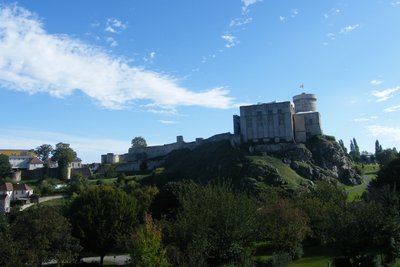
Château de Falaise - Amis Bretons de Colomban CulturalFalaise Castle
The clifftop castle sits on a rocky spur overlooking the Ante valley. Its oldest traces date back to the 10th century. William the Bastard, better known as William the Conqueror, was born here in 1027. He set off from Falaise to conquer England.
To find out more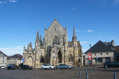
Eglise de la Ste Trinité - Amis Bretons de Colomban CulturalSainte-Trinité de Falaise Church
The Church of the Holy Trinity, built in the shelter of the castle in 840, is the oldest parish in Falaise.
The current church, which has been battered by various conflicts (the annexation of Normandy in 1204, the Hundred Years' War in 1477 and the Second World War), was built between the 13th and 16th centuries. The ambulatory is unusual in that it is elevated. This is due to the fact that it spans a street.
Description
From Place de l'Eglise, walk down Rue de Bretagne towards the Orne, cross the river and walk up Rue de la Vème République, then Rue de Falaise. As you leave the village, turn right onto the "Route du Roi" (yellow/red signs). Continue straight ahead until you come to a crossroads with the D56 at a place called Les Coursières. Cross the road to the Bourg d'Ouilly church:
- Turn left in front of the church, then right towards Glatigny. At the fork before this hamlet, turn right. Go through the hamlet of Parc, passing to the left of the house, and continue straight on along the path. Go through the hamlet of Les Iles d'Ouilly and at the end of the hamlet, take the track that continues straight ahead. Follow this track, crossing the D43 and then the D133 (Chemin des Pèlerins).
- At the junction with the route de Marcrue, turn right, then, after passing the access road to this hamlet, take the track on your left. At the end of this track, turn right as far as the hamlet of La Croix. Go through the hamlet and, at the crossroads, turn left towards the hamlet of L'Église on the D240. Follow the road through the hamlet and, before the crossroads with the D157, take the tree-lined path on your right at the left-hand bend. Continue as far as the village of Bruyère. In the village, turn left to join the D157.
- At the crossroads, turn right onto the main road, then take the first road on the left. Follow this road and, when it bends to the left, take the track that goes straight on. Follow it until it joins the D157. Turn left onto the D157, then right towards Falaise. Pass under the dual carriageway and turn right towards the Travellers' site.
- Continue straight ahead on Rue du Mont Myrrha. At the end of the road, turn right, then left into rue du Val d'Ante towards the campsite. After entering the campsite, turn right onto rue de Val d'Ante. At the small square (Place de la Mutualité), go straight up the Venelle des Gardes. At the top of this, turn left onto the cobbled street and go through the Porte Philippe Jean. At the crossroads, turn right onto Rue du Camp Ferme and reach the Place de l'Eglise de la Ste Trinité.
- Departure : Place de l’église, rue de Bretagne, 14690 Pont-d’Ouilly
- Arrival : Church of the Holy Trinity, 14700 Falaise
- Towns crossed : Normandie
Altimetric profile
Report a problem or an error
If you have found an error on this page or if you have noticed any problems during your hike, please report them to us here:

