7. Wädenswil to Rapperswil
4 points of interest
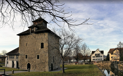
Château Pfäffikon HistoricalSchloss Pfäffikon
The castle and its still visible tower were built in the 13th century by Einsiedeln Abbey, which owned land as far as the lake. The tower was used as a dwelling and as a warehouse for agricultural products but also as a store for the abbey's wealth in case of danger. The neighbouring chapel dates from the 16th century.
Passerelle PanoramicHurden-Rapperswil Footbridge
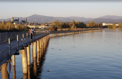
A footbridge linking the Hurden peninsula to Rapperswil was already present 1500 BC before the dam built later. Today's footbridge is the ideal route for pedestrians and cyclists as well as for pilgrims of St. James arriving from Lake Constance. It offers a unique view of the lake, its fauna and Rapperswil.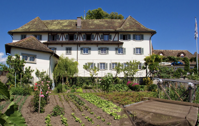
Couvent Rapperswil CulturalConvent
Founded in 1606, this Capuchin convent is famous for its rose garden and the grotto of Saint Anthony of Padua.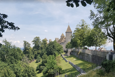
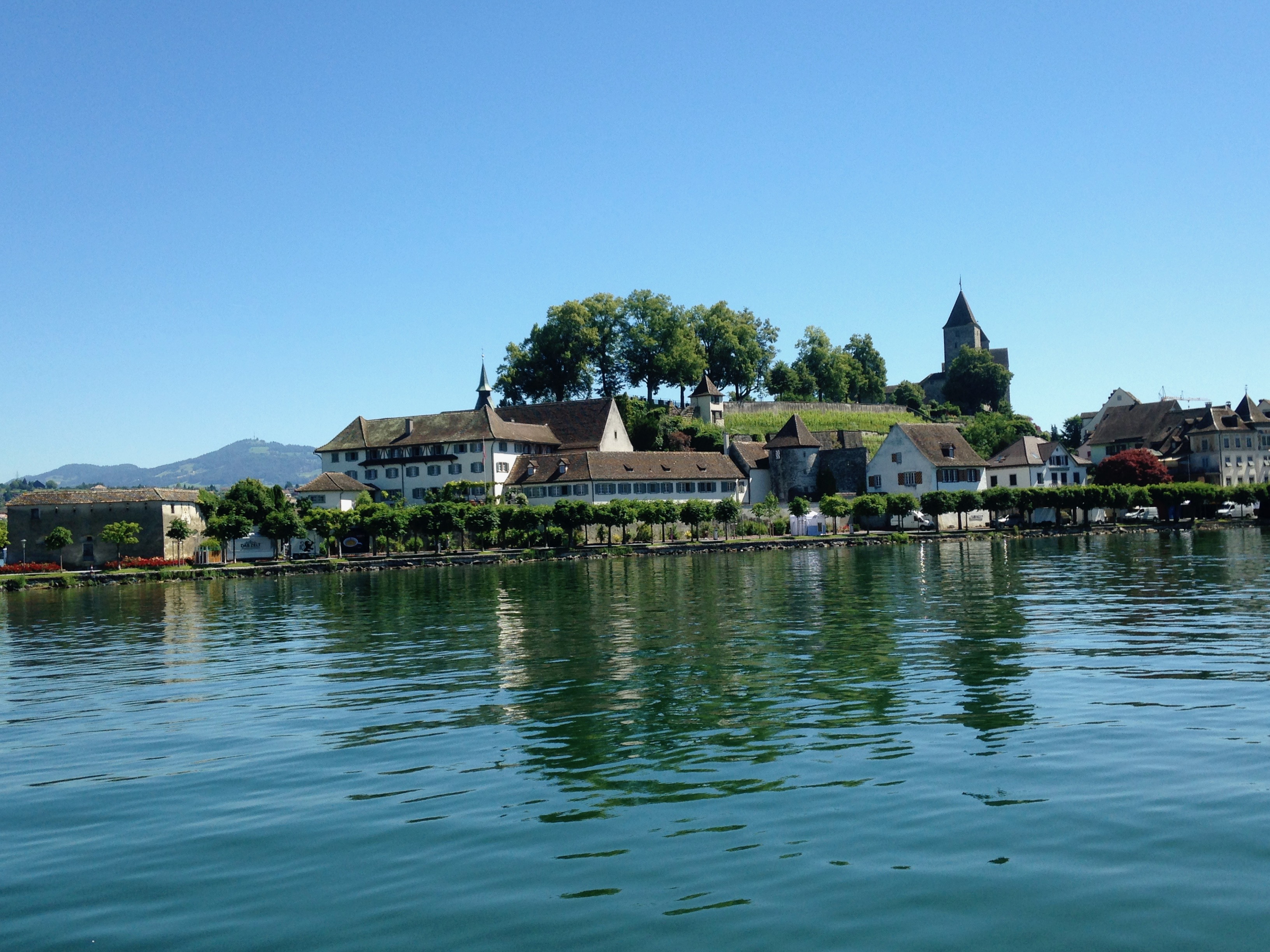
Château Rapperswil HistoricalRapperswil Castle
Built between 1220 and 1230, the castle was used to watch over the waterways and the passage through the dam, especially for pilgrims on their way to the next stage at Einsiedeln Abbey.
Description
From Wädenswil, two variants are available to join Wattwil:
- Shortest way through Rapperswil by passing on the opposite shore of Lake Zurich (itinerary described below and in the next step: N°8 Rapperswill in Wattwil),
- By Tuggen, a historical site of Saint Colomban on the southern shore of the lake (itineraries described in: N°9 Variant : Wädenswill-Tuggen and N°10 Variant : Tuggen to Wattwill).
Two routes are possible at the church, to reach the shore to find the 84 Zürichsee Rundweg or continue south-east with Etzelstrasse to Tannstrasse on the right just before a crossroads:
- This street leads to a wooded area. At the entrance, turn left, walk over the dike of a pond and down Einsiedlerstrasse. Turn right on this street and left shortly after a company in Alte Landstrasse that goes down and under a railway track. In the fields, after a group of houses on the right, turn right onto the hillside road (Schönauweg) until you reach Erlenstrasse.
- Turn right and follow this entrance into Richterswil to a church. At this point, turn right into the Bürgliweg and follow the local yellow "Wanderweg" markings to cross the city centre and reach the shore.
- Continue along the waterfront next to the railway line until you reach the Seestrasse at a tunnel.
- Pass under the tunnel to walk on the other side of the railway track (Bächerstrasse). At the bend to the right of this street, continue opposite (Wanderweg: Fabrikstrasse) then immediately turn right (Wanderweg: Bächergassli) to reach Haupstrasse. Then turn left and continue until the next bend. Turn left into Wilenstrasse, which further on crosses the railway line.
- At this level, continue on this side of the railway line through a pedestrian crossing and then along Breitenstrasse, which gently descends into the vineyards and joins Leuchtschenstrasse. Cross the cantonal road and turn slightly right into the Wanderweg, which goes down to the railway track and follows it on its right side until you reach the Unterdorfstrasse level crossing.
- Cross the tracks, continue on the other side and join the national route N°4 Via Jacobi which you follow in the opposite direction until Rapperswil by crossing an isthmus and then a bicycle / pedestrian footbridge which avoids the bridge.
- At the exit of the footbridge, follow the shoreline to the left and pass under the railway and road. Always follow the shoreline and join the port at the foot of the abbey.
The short step leaves different opportunities:
- Visit or rest for a day at Einsiedeln Abbey, accessible by train with an hourly departure time and a journey time of 30 to 45 minutes.
- Visit of Tuggen, a historical site of Saint Colomban accessible by train every half hour to Uznach and then a bus for a total journey time of 20 minutes.
- Visit and rest in Rapperswill, a city with 5000 years of history.
- Departure : Roman Catholic Church of St. Mary, Eintrachtstrasse, 8820 Wädenswil
- Arrival : Capuchin monastery, Endingerstrasse 9, 8640 Rapperswil
- Towns crossed : Zürich, Schwyz, and Sankt Gallen
Altimetric profile
Report a problem or an error
If you have found an error on this page or if you have noticed any problems during your hike, please report them to us here:
Close by7
- Accommodation

