15. Bregenz to Hohenems
5 points of interest

Festival de Bregenz CulturalBregenz Festival
The Bregenz Lake Festival is a major international tourist event.
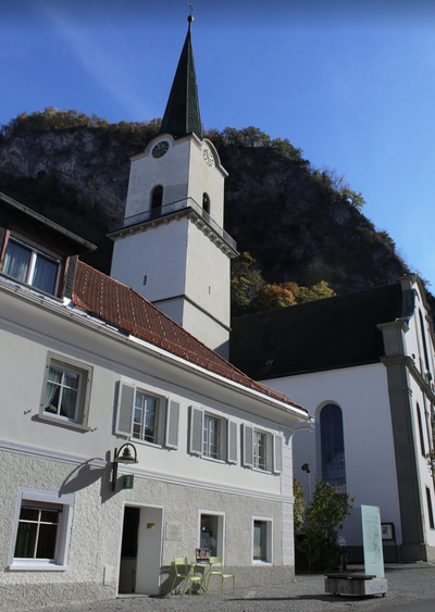
Martinsturm HistoricalMartins Tower
The tower of St. Martin owes its present colossal effect to the magnificent baroque onion-shaped dome. When the city was founded around 1250, the tower was a granary with a pyramidal roof slightly higher than the city wall. In 1362, the St. Martin's Chapel was added and a magnificent fresco decoration was added in the following years. In the years 1599 to 1601, the master builder Benedetto Prato of Roveredo (Graubünden), on the orders of the town, added a mezzanine (now a showroom), the living quarters of the tower and the floor of the arcade to the existing building. The attic became a tower. From then on, the Martinsturm served as Bregenz's high watchdog: for centuries, the tower keeper had to warn the town in case of fire.
Read more about.
Église St Gall St ColumbanSaint Gall's Church
Church in memory of St. Gallen who arrived in Bregenz around 610 with St. Columban. But when the latter leaves the city to settle in Italy, St. Gallen leaves his master to retire as a hermit in the St. Gallen area.
Read more about.
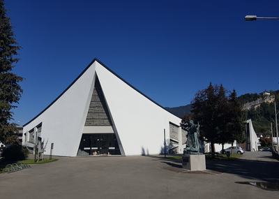
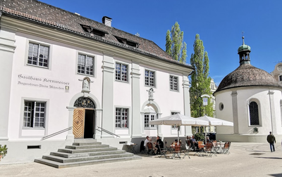
Église St Colomban - Amis St Colomban St ColumbanSaint Columban Church
The first settlements in the Bregenz area date back to around 1500 BC. During the Celtic period (from about 500 BC onwards), Bregenz was one of the most fortified places in the region along with the Celtic Briganti tribe in Vorarlberg. In 15 BC, the Romans conquered Vorarlberg and built Brigantium, a Roman town with a forum, a temple quarter, market halls, a basilica, etc. The town was then called Brigantium. Numerous archaeological remains are still present in this town, such as the Protestant cemetery with remains of the walls of the imperial baths. The city was also of military importance. The prefect of the Roman Lake Constance fleet had his seat here. A Roman navy was stationed in Brigantium at least until 410 AD. Remains of the harbour were discovered during construction work. In 233 and 259/260 Bregenz was destroyed by the Alemanni invasion, but rebuilt by the Roman Celtic population. The Alemanni settled in the Bregenz area around 470. Between 610 and 612, the Irish monks Kolumban and Gallus founded a monastery in Bregenz.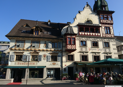
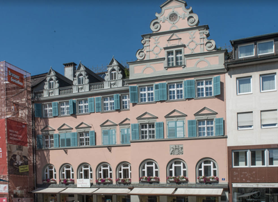
Place du marché TouristMarket Square
The origins of Dorbirn date back to the Middle Stone Age (8000 to 3000 BC). Coins from the 2nd century and an alphabet primer from the 1st century later testify to a Roman presence in Dornbirn; the first remains of a settlement in this area come from an Alemannic tomb from the 6th and 7th centuries. Quoted in a publication of 895, the Dorbirn area later belonged to the Abbey of St. Gallen. The textile industry is still the wealth of this Rhine valley. The market square is the historic centre of Dornbirn with the Church of St. Martin and the colourful neighbouring houses such as the Roteshaus.
Description
From St Colomban church, continue along Landstrasse to Route 190 (Arlbergstrasse) and cross the Bregenzer Ach, staying on the track to the left of the road:
- At the end of the bridge, turn left twice in succession to go under the bridge and follow the river until you pass under a railway track. At this point, turn left (Dammstrasse), follow the main railway line as close as possible (Flöritzerweg), pass under two secondary railway lines (Bahnhofstrasse) and continue in the same direction, Fellentorstrasse, Kapellenstrasse (left before big farmhouse). At the small chapel, turn left (Hinterstrasse), in the axis (Lerchenauerstrasse), left (Pariserstrasse) and second right (Niederhof) to leave Lauterach.
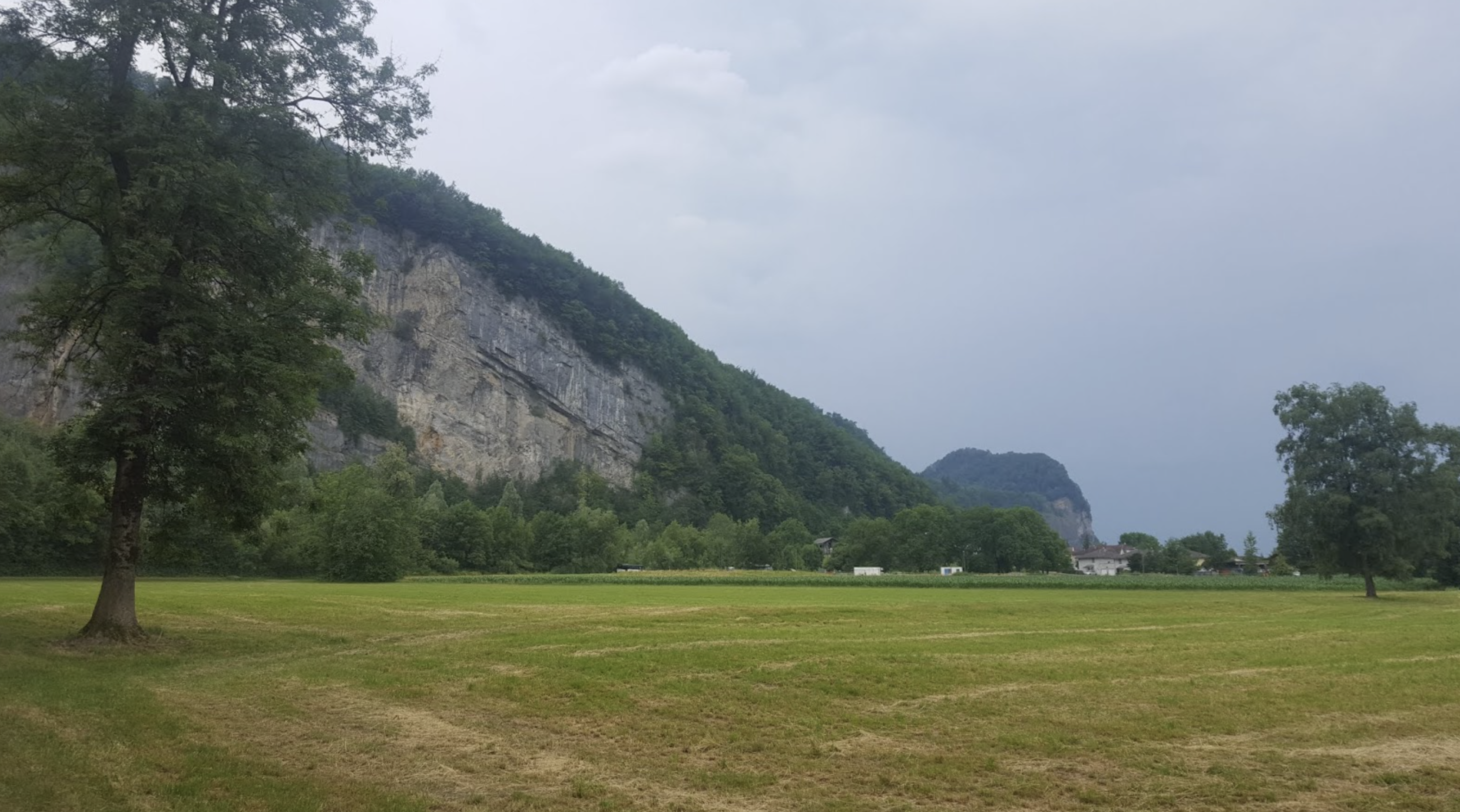
- Continue south, agricultural fields on the right and industrial area on the left. In the countryside a little further on, turn left to get closer to the motorway which is along until it crosses the Dorbirner Ache river.
- The route then follows the right bank of this river to Dornbirn and a footbridge before the railway bridge.
- Cross it to change banks and cross the city to its last bridge. Turn right (Haldengasse) and get closer in Mühlebach gradually from the bottom of the mountain (Haldengasse and Haslachgasse in continuity). Pass between the quarries and the industrial area (In Steinen and Stöckenstrasse).
- After going around the quarries, turn left to return to the foot of the cliffs followed to Hohenems (Unterklienstrasse, Oberklienstrasse). In the hamlet of Oberklien (bend to the right of Oberklienstrasse), take the path to the left which maintains the route at the bottom of the cliffs and arrives behind the church (Tiergartenweg).
- Departure : St Colomban Church, Weidachstrasse 1, 69000 Bregenz
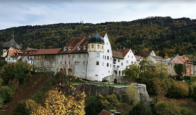
- Arrival : Church of St Karl Borromäus, Kirchplatz 2, 6845 Hohenems
Altimetric profile
Report a problem or an error
If you have found an error on this page or if you have noticed any problems during your hike, please report them to us here:
Close by13
- Information
- Accommodation
- Accommodation