17. Feldkirch to Balzers
4 points of interest
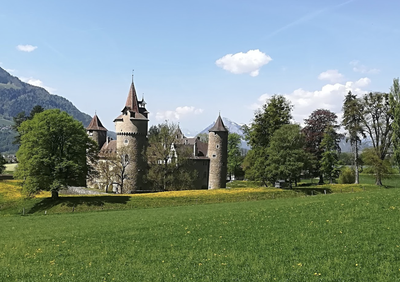
Château Marschlins HistoricalMarschlins Castle
The castle was built in the 13th century on the foundations of a church. It has undergone numerous modifications, the last of which date from 1905.
To know more.
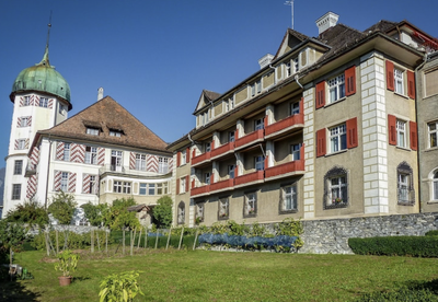
Château ND Assomption HistoricalMonastery of St. John
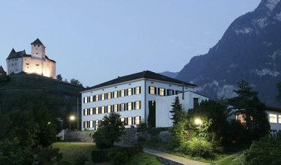
Built by the von Salis family, the castle of St. John's Monastery is more than 300 years old. Today it serves as a retirement and care home for elderly priests. It was home to the former Empress of Austria Zita de Bourbon Parma from 1962 to 1989, when she died at the age of 97.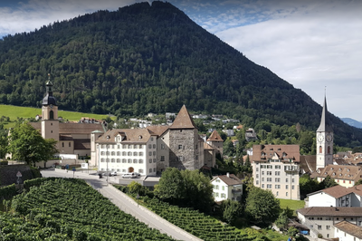
Coire TouristChur
The town is at an important crossroads of valleys that control the passage of the Alps. The Romans conquered this area in 15 BC and it became the province of Raetia, of which Curia was the capital. It then passed to the kingdom of the Franks in the 6th century. From the High Middle Ages onwards, the history of the town is linked to that of the episcopate of Chur and then to the canton of Graubünden, of which it is the capital.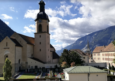
Cathédrale Coire CulturalNotre-Dame de l'Assomption Cathedral
The diocese of Chur was established in the 4th century on the territory of the former Rhaetia. A bishop is mentioned there as early as 451; historians therefore date the construction of the first cathedral back to around the year 450. During its history, the cathedral has undergone many works. This is particularly the case in 1811 following a fire and again between 2001 and 2007 with a complete restoration.
Description
At the end of Domplatz, turn left (Herrengasse) to go under the Katzenturm and join Route 191 which crosses the Ill River and approaches the mountain:
- After the complex of buildings (Pädagogische Hochschule Vorarlberg), turn left (Duxgasse) and continue on the path in the axis to climb into the forest and join a subdivision crossed to the south (Schanzweg). At the junction with Letzerstrasse, turn right and immediately take the path on the left to reach and cross the forest and the border between Austria and Liechtenstein. Shortly afterwards, the path joins the signposted path N°66 Liechtensteiner Panoramaweg followed until the entrance to Nendeln.
- At the exit of the forest via Rüttigass, turn left (Klosagass) until you reach a first path on the right that joins the Schindlagass. Go down to the village centre via Schulstrasse and leave the town by the main road N°16. Shortly afterwards, at the level of an isolated dwelling, follow the road on a track to the right that joins it further on.
- Turn left before a quarry, go up the valley to reach a path that follows a curve (Iraggellstrasse) and bypasses the town of Schaan through the forest. This signposted path crosses three main streams before descending to Vaduz. At the forest edge, turn left (Mareestrasse) and then take a more important road (Fürst Franz Joseph Strasse).
- Turn right and then successively first street on the left (Hintergass), first on the left (Kaspelgass), first on the left (Mitteldorf) and first pedestrian crossing on the right (Egertaweg) which leads to the Herrengasse. Go to the roundabout on the left, enter the pedestrian zone on the left (Städtle) followed until the roundabout before the cathedral. Turn right (Kirstrasse) and then take the second street on the left (Rätikonstrasse). At the crossroads with Zollstrasse, the route turns right on the bicycle / pedestrian track, crosses a canal and takes the next track on the left (signposting N°975 Vaduz-Balzers Weg).
- Follow this track which runs between the Rhine and a canal to beyond Triesen where the river and canal change direction. Turn left (Garnetschweg), cross and follow road N°28 on the other side along bodies of water and a stream. This track (Alte Landstrasse) leads back to the main road at the entrance to Balzers.
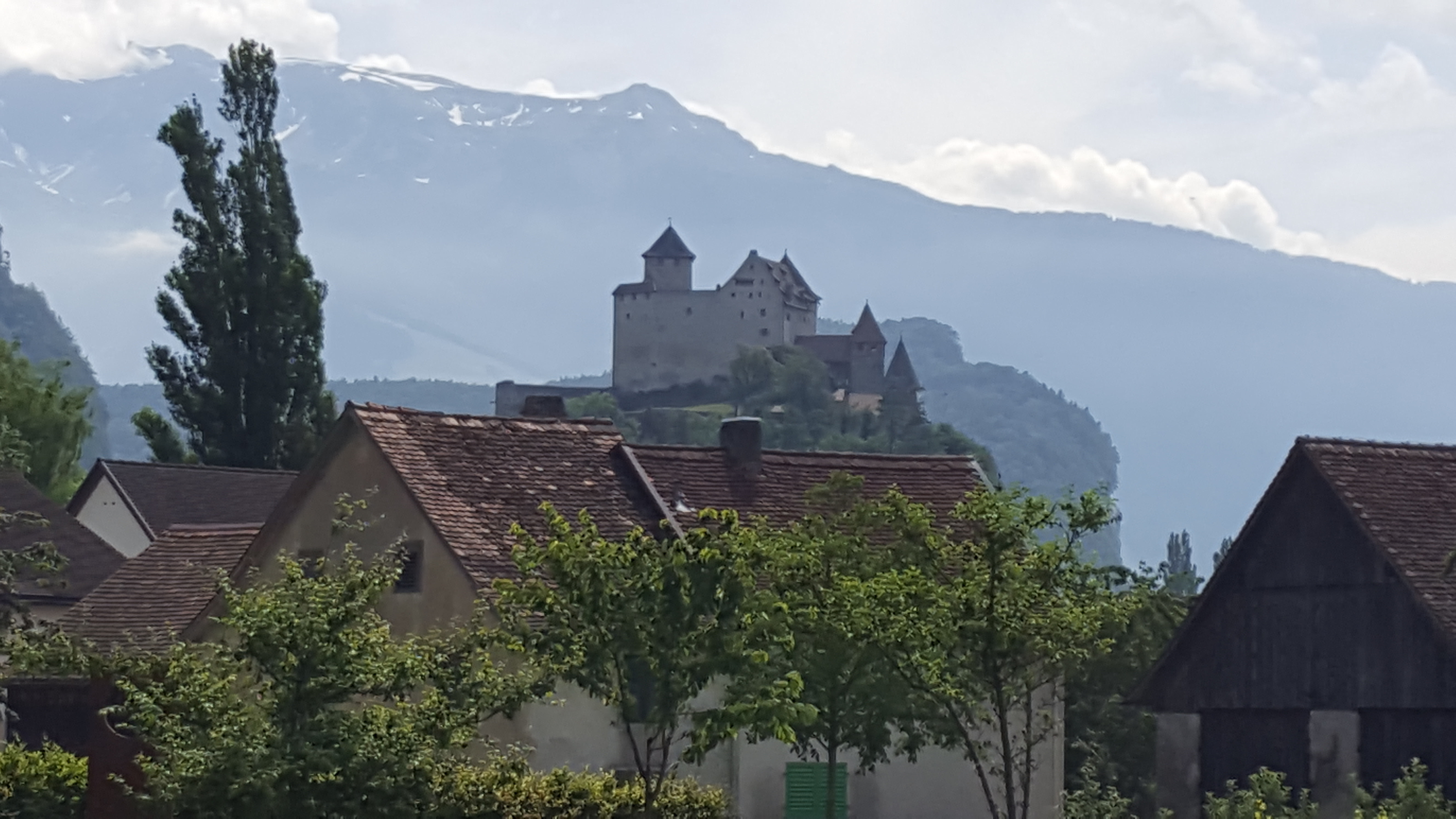
- Enter the city and, after an isolated bell tower, turn successively right (Winkel), first street on the left (Winkel), first street on the right (Plattenbach with canal crossing), right Fürstenstrasse and first street on the left (Kirchensträssle) to reach the church at the foot of Gutenberg castle.
- Departure : Dom Sankt Nikolaus Church, Domplatz 6, 6800 Feldkirche
- Arrival : Jubilaumkirche, Kirchensträssle, 9496 Balzers
- Towns crossed : Mauren, Eschen, Gamprin, Schaan, Planken, Valduz, Triesen, Sankt Gallen, and Balzers
Altimetric profile
Report a problem or an error
If you have found an error on this page or if you have noticed any problems during your hike, please report them to us here:

