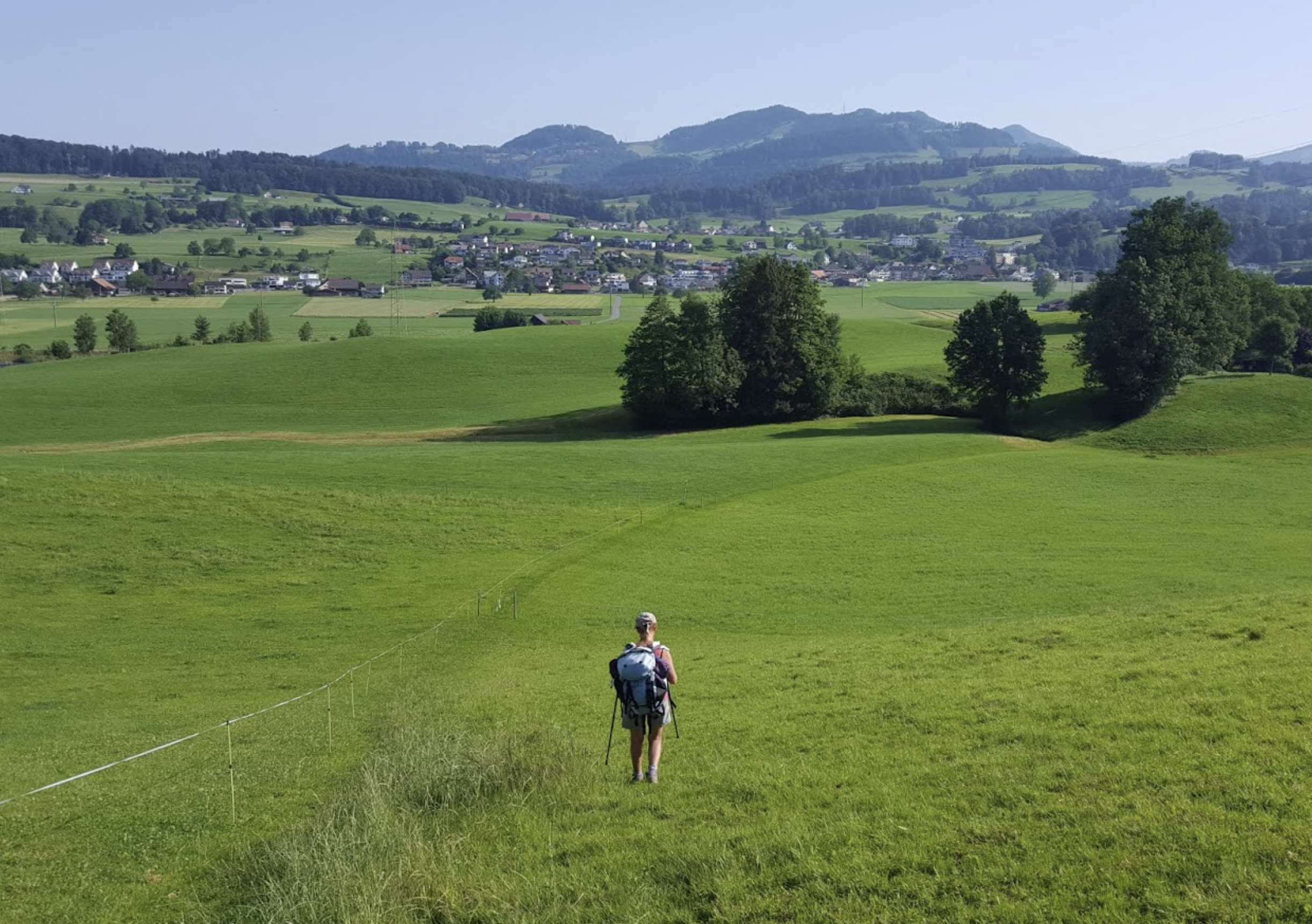
10. Variant : Tuggen to Wattwil
5 points of interest
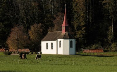
chapelle Linthbord CulturalLinthbord Chapel
Beautiful wedding chapel built in 1666.
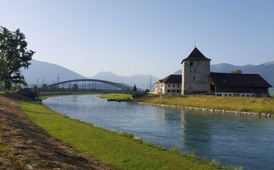
château de Grynau HistoricalGrynau Castle
The preserved tower was built at the beginning of the 13th century to secure the passage of the Linth River. Until the 20th century, there were only four bridges over this river, including the bridge near Grynau. In 1337 a battle took place here between Zurich and a coalition led by the Habsburgs.
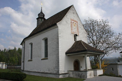
Jakobuskapelle CulturalSaint James Chapel
The chapel of Saint James has existed since the Middle Ages, but was replaced by a new one at the end of the 17th century. Here, the Jakobsweg (Way of St. James) comes from Lake Constance and branches off via Schmerikon to the east of the Obersee or via Rapperswil to the west before continuing on to Einsiedeln Abbey.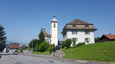
ST Gallenkappel - Amis St Colomban St ColumbanSt. Gallenkappel
A chapel dedicated to Saint Gall was built in the 9th century, hence the name of this locality.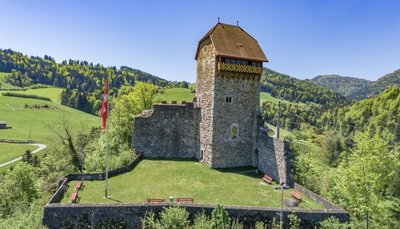
Château Iberg HistoricalCastle Iberg
The castle, which also bears the name of Yburg, was built in 1230 by the Lords of Iberg, ministers of the Principality of St. Gallen. In ruins from 1838 to 1901, it was rebuilt with the help of the Swiss confederation and given the status of a castle.
Find out more.
Description
Route N°4 in a green square "Via Jacobi" is marked in two directions:
- In the direction of Santiago de Compostela with a blue border and a gold shell,
- In the opposite direction for the return home without blue edges or shells.
Follow the green squares N°4 without edge because the Kolumbansweg goes up the road to Santiago.
From the church, join the main street (Zürcherstrasse) and, opposite a hostel (Gasthaus Löwen), turn left in the passage between houses (Steinweg) which leads to Gallusstrasse followed by Kleinlaui:
- Continue along the path in the axis (yellow mark Wanderweg), leave the city and pass in front of the Linthbordkapelle chapel. The track joins the forest and follows the edge over the motorway tunnels to the St Gallerstrasse road. Walk on the path along this road to the castle.
- Turn left after the canal, go under the highway and take the next footbridge on the right. Cross a second canal and follow it on its north shore to the level of a footbridge. Turn right, go behind the port and join the north shore of the lake and the city centre of Schmerikon on the left.
- Cross the railway at the first level crossing and turn right (Hauptstrasse) and left (Kirchgasse) successively up to the church. The track climbs to the right after the cemetery, leaves the town (Goldbergweg), turns left and right (Bürgitalstrasse) and continues into the fields after the hamlet of Goldberg. Continue north across the motorway and into Hinterherrenweg to reach the village of Neuhaus at the Jakobus Chapel.
- Turn right onto the path under the road overpass and cross the creek. At the last farm, turn left on the track that goes up to the road. Leave the wooden covered bridge on the left and join the road. Continue on the path opposite according to the markings. The track enters St Gallenkappel via Gerendingerstrasse, Obergeredingerstrasse (left), Sonnenrainstrasse (front) and Kirchweg towards St Gall church.
- After the church, go down the main street on the right and turn left immediately (Grundwies). In the bend of the asphalt road, continue on the field path that leads to the forest. Go along the edge and go up a large curve towards the road. Cross it and continue to climb up the meadows: Allmeindstrasse, Breitenholz (right), Kirchbodenstrasse (left) to reach the hamlet of Rüeterswil. Walk past the chapel, continue up to the hamlet of Höfli and go down to the road near a calvary.
- This road passes through Walde and climbs to Oberricken. Afterwards in the descent, turn left towards Cholloch, go up into the mountain pastures at 970m and then go down towards Wattwil cutting some bends.
- Arrived at the castle which dominates the city, join the road by the marked path. In the bend of the road, cross and take the path to the right along the valley which goes down towards road N°8. Turn left twice in front of the petrol station to reach the abbey, which is clearly visible from a height.
- Departure : Church of St Gall, Buchbergstrasse 6, 8856 Tuggen
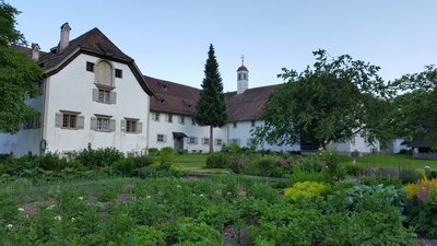
- Arrival : Convent of St. Mary, Klosterhof, 9630 Wattwil
- Towns crossed : Schwyz and Sankt Gallen
Altimetric profile
Report a problem or an error
If you have found an error on this page or if you have noticed any problems during your hike, please report them to us here:
Close by7
- Accommodation