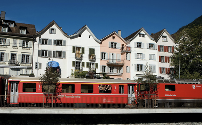
19. Chur to Lenzerheide
4 points of interest
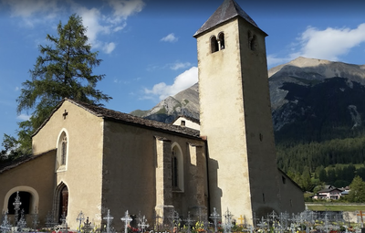
Église Ste Marie CulturalChurch of St. Mary
The church is first mentioned in 831. The walls of the nave date from this period.
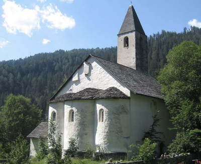
Église St Pierre CulturalSt. Peter's Church of Mistail
St. Peter's Church in Mistail is the only Carolingian church with three intact sides in Switzerland. According to a letter of 823, it was probably built around the year 800. The now defunct monastery was first mentioned in a deed of donation by Henry I in 926.
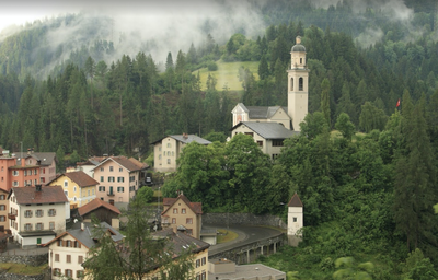
Tiefencastel HistoricalTiefencastel
Tiefencastel is situated on a crossroads of valleys that have always been used to cross the Alps via the Julier and especially the Septimer passes. It is therefore not surprising to have found traces of a Bronze Age settlement, a pre-Christian presence and Roman occupation. In the early Middle Ages, Tiefencastel was a fortified town and a customs post.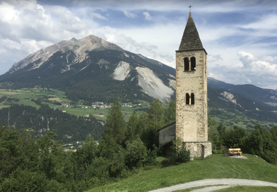
Église St Côme et Damien CulturalÉglise St. Cosmas et Damian
The first documentary mention of the former parish church comes from an episcopal property register dating from the 1290's. Due to the structural characteristics, a building from the 1st millennium cannot be excluded. The church was reconsecrated in 1351.
Description
From the cathedral perched on its promontory, the exit from Chur is not easy. Go down the stairs to the north of the building and, at the foot, turn left and right successively in front of the Bishop's castle (Bischofliches Schloss) to reach St Luzistrasse. Turn slightly to the left to reach the stairs that reach the upper street (Alte Schanfiggerstrasse). Turn right to find other stairs that lead under the St Luzistrasse and down to the level of the river reached by the Münzweg:
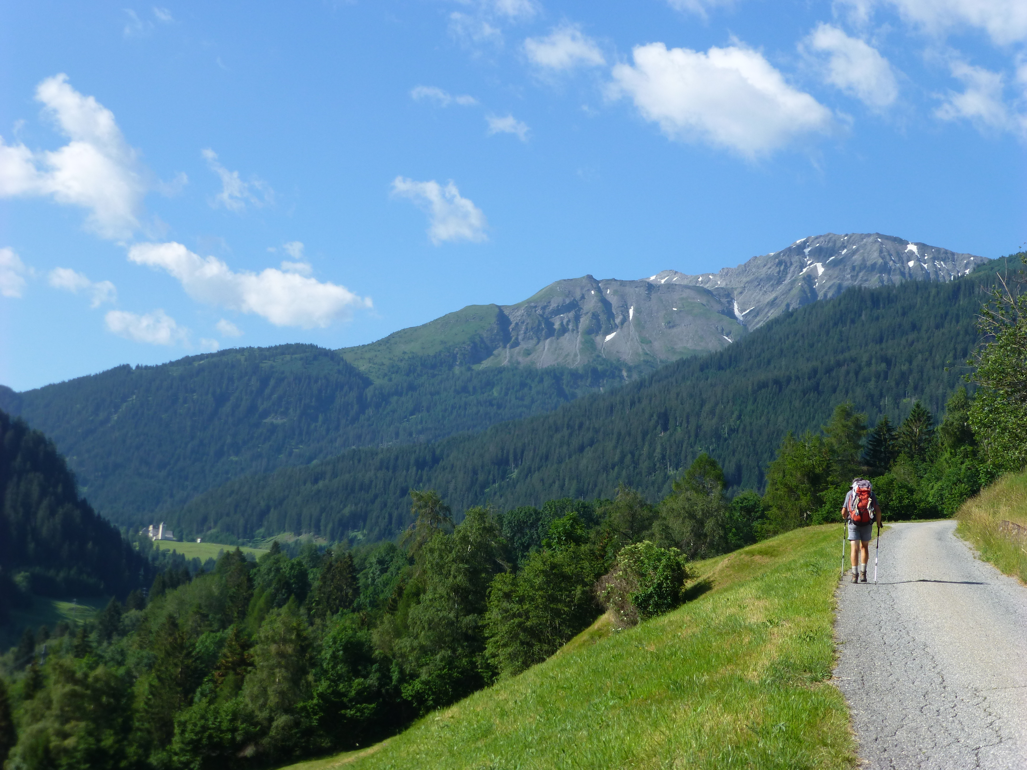
- At the end of this shortcut, turn right to join the road N°64 ViaSett which goes up the Plessur River alternately on one or the other bank. After the confluence of the Rabiosa river which falls into the Plessur, turn right to go up in a curve to Passug. On arrival, turn left (Hauptstrasse), pass in front of Swiss School of Tourism (Schluoch) and take the first track on the right before a curb.
- Go up the Rabiosa valley to the mountainside (Hanfland and Polenweg) in the forest mainly and above the gorges dug by the river. The route cuts through several torrents that descend from the mountain pastures to the Rabiosa, the last of which (Fanüllatobel) marks the end of the narrow gorges of the Rabiosa.
- Continue the path southwards out of the forest, approaching the river and cutting it down before reaching Churwalden on Haupstrasse. Turn left, cross the stream on the footbridge and cross the city by the main street.
- When this street crosses a stream, continue in the right direction and follow the path along the river until you cross it and reach a road before Parpan. Cross this village by this road.
- At the last house, turn right (Obertor), climb almost to the top of a ski lift and return to the main road before Valbella. The city is also crossed by this road.
- Also at the last house on the left, take the path on the left in the axis that overlooks Lake Heidsee and returns to the road at the entrance to Lenzerheide. Before the road, turn left and go under the road to go to the church of San Carlo.
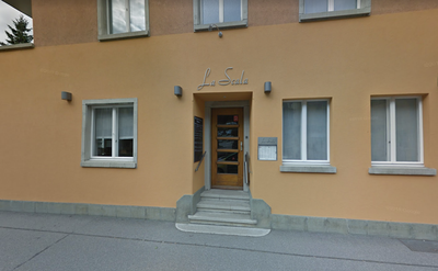
- Departure : Cathedral of Our Lady of the Assumption, Hof 18, 7000 Chur
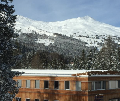
- Arrival : Church of San Carlo, Plaz Baselgia, 7078 Lenzerheide
- Towns crossed : Graubünden
Altimetric profile
Report a problem or an error
If you have found an error on this page or if you have noticed any problems during your hike, please report them to us here:
Close by11
- Information