3. Myshall to Leighlinbridge
4 points of interest
Muine Bheag TouristMuine Bheag or Bagenalstown
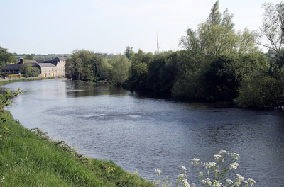
The town of Carlow County, Muine Bheag or Bagenalstown has a population of 2,735. It is crossed by the River Barrow, which flows south.
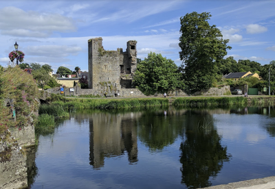
Black castle HistoricalBlack Castle
The first castle was built around 1181 by the Normans. Around 1540, a Carmelite convent was converted into a new fort by Edward Bellingham. The remains of the castle are now reduced and dilapidated. The remains of a 15m tower and parts of one side of a surrounding wall remain.
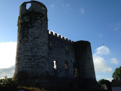
Carlow castle - Amis St Colomban HistoricalCarlow Castel
The ruins of Carlow Castle stand on the east bank of the River Barrow. It is thought to have been built by William of Marshal, Earl of Pembroke and Lord of Leinster between 1207 and 1213. Originally the castle was a rectangular block, containing the main rooms of the castle protected by cylindrical towers at its corners. Only the towers have survived and part of a surrounding wall remains after an attempt by a local doctor to convert it into an asylum in 1814.
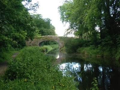
River Barrow - Amis St Colomban PanoramicRiver Barrow
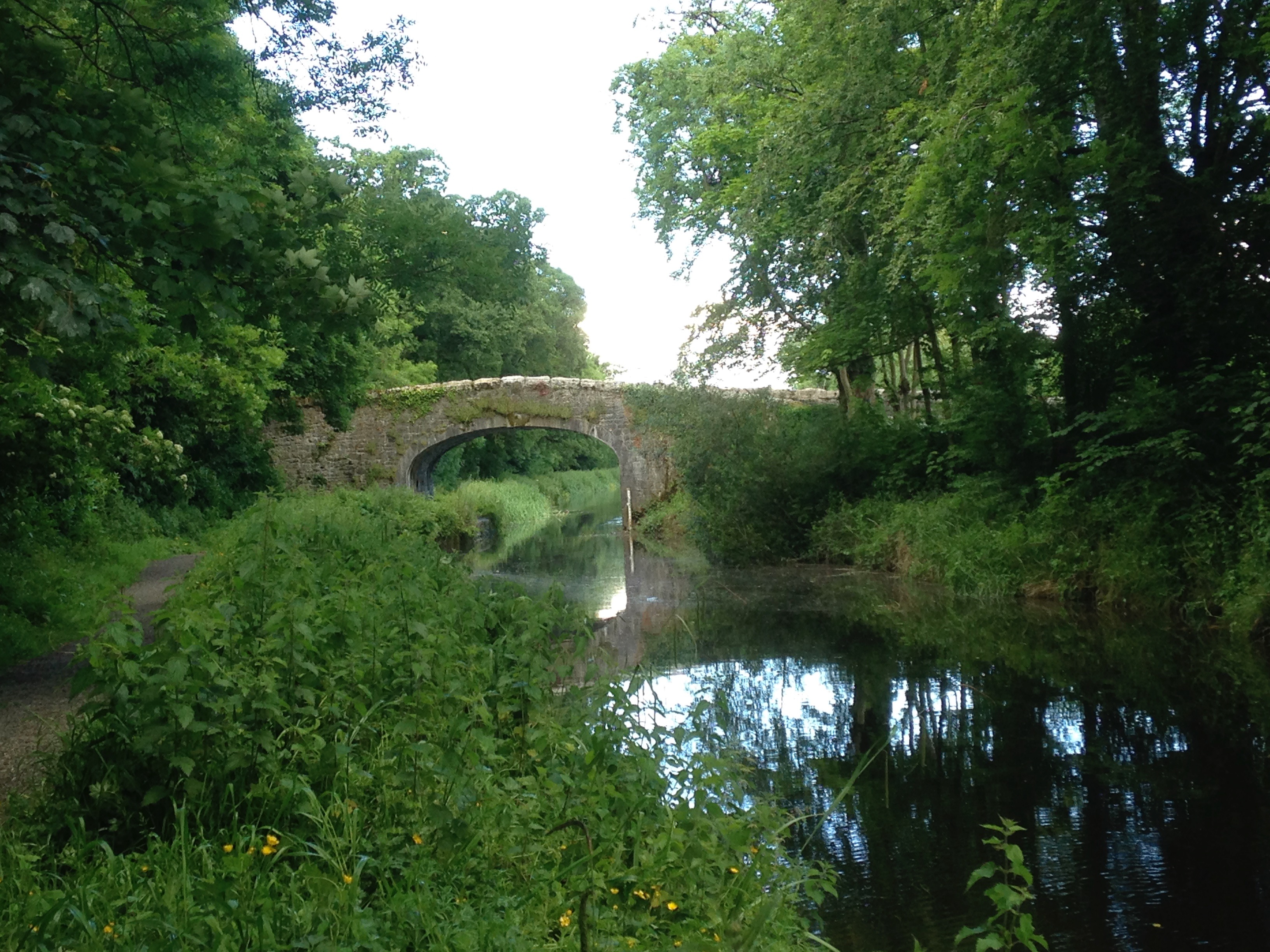
The River Barrow is a river that rises at Glenbarrow in the Slieve Bloom Mountains of County Laois and flows through a wide estuary into the Celtic Sea south-east of Waterford. It is channelled and bordered by a towpath which allows a pleasant ascent to Carlow.
Description
- Leave the main road after 2km and continue left on the west-bound road. At the Clonee crossroads, turn right, leaving the cycle track to Carlow on the left. At the Garryhill crossroads, continue straight ahead towards Bagenalstown.
- At the next crossroads after 300m, turn left towards the south-west. Follow the road as it heads north for a short while before resuming its westerly course. At Ballymoon, it joins a larger road (R724) which leads to the village of Muine Bheag.
- At Saint Andrew's Church, turn right and then, after 100m, left to join the River Barrow and the track on the right which leads upstream. This riverside path runs alongside the R705 road for a while and then diverges from the river at a swimming pool. Continue along the cycle path alongside the water.
- In the village of Leighlinbridge, over the bridge, continue along the main road until you reach the church.
- Departure : Church of Exaltation of the Holy Cross
- Arrival : Saint Laserian's Church
- Towns crossed : Carlow and Kilkenny
Altimetric profile
Transport
Carlow has good public rail links to other cities.
Bus Éireann and Rapid Express Coaches provide multiple services to Dublin and Waterford every day. Buses stop at several locations along the route.
Report a problem or an error
If you have found an error on this page or if you have noticed any problems during your hike, please report them to us here:
Close by2
- Information
Information
Association of Turas Columbanus
The Turas Columbanus Association brings together the Friends of Saint Columbanus from all over the Republic of Ireland. One of its main missions is the promotion and development of the Colomban Way in conjunction with an identical association in Northern Ireland.

