Ott Track to Newcastle
Down
29. Ott Track to Newcastle
Medium
5h
16,6km
+291m
-690m
Multi-day trek
Embed this item to access it offline
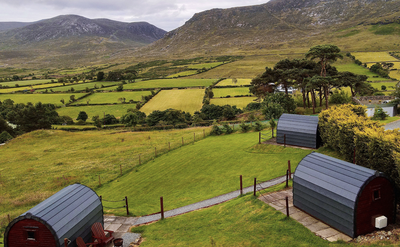
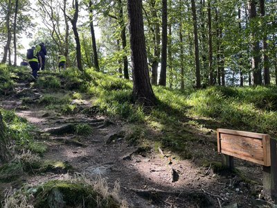
Most of the route follows stone paths and tracks. The first half of the stage follows the slopes of the Mourne Mountains through a landscape of lakes, streams and meadows with sheep. The second half offers a beautiful woodland walk along the banks of a cascading river before climbing again to descend towards the sea and Newcastle.
2 points of interest
 Historical
King's grave
Very ancient king's grave (1500 - 1000 BC).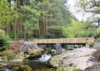 Tourist
Tollymore Forest Park
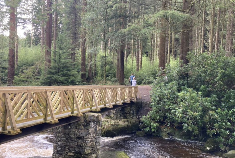
A natural wooded area along the River Shimna with very pleasant footpaths. The park also climbs towards the Mourne Mountains with its forests, waterfalls and bridges.
Find out more here.
Description
When you leave the car park, turn left down the road to a small wood on the right:
- Take the steps on the right (signposted St Patrick's Way) to cross the wall and follow the path along the edge of the wood to a reservoir (Fofanny Reservoir). At the junction 200m after the reservoir, turn right and continue along the path at the foot of the hills to a stream (400m).
- Cross the stream and the wooden steps above the fence and continue along the path which descends, passes under rocky bars and runs alongside a stone wall for 1.5km. Cross a final stream on flat stones to reach a stone track.
- Turn left onto this track, which crosses the wall and joins a wood. After 1km, the track leads to a small tarmac road. 100m further on, there are tables and benches next to a car park where you can take a break.
- Turn right after the houses (marker) onto the stone track that enters the forest. Follow this track for 1km until you reach a bridge over a stream cascading down the mountain.
- 50 m after the bridge, leave the markers, turn left and descend towards the main river (Shimna River) which drains the valley. Cross the bridge and follow the river for 800m, leaving a stone bridge (Parnell's Bridge) and ford on the right.
- At the next bridge, turn right to find the signposted path that followed the other bank. Continue along this path for 300m to the bridge over a secondary stream flowing down from the mountain.
- Before the bridge, turn left onto the path that climbs for 800m alongside this stream, with the possibility of visiting the waterfalls if you stray slightly from the path.
- At the top, at the crossroads of 5 paths, turn left, cross the 2 bridges and continue on the other side of the valley for 300m until you reach the 3rd path on the right.
- Turn right onto this path, which climbs to the edge of the forest (250m). After a bend to the left, it follows the edge of the mountains (800m) to a small pass at the foot of the Curraghard summit.
- Go around the summit to the south and descend through tight bends (signposted) to the entrance to Newcastle (1.2km).
- Take the 2nd turning on the left (beacon) and join the River Shimna, which runs alongside until it crosses a major road.
- Turn left, cross the bridge over the river and turn right immediately after the bridge. The signposted path runs alongside the river in a park, crosses it on a footbridge and then crosses another major road. Cross the road to enter the park opposite (marker) and join the seafront, following it northwards to finish the stage.
- Departure : Parking
- Arrival : Assumption of Mary Church
- Towns crossed : Down
Altimetric profile
Report a problem or an error
If you have found an error on this page or if you have noticed any problems during your hike, please report them to us here:

