Gosford Forest to Scarva
Armagh
24. Gosford Forest to Scarva
Easy
6h
19,4km
+219m
-276m
Multi-day trek
Embed this item to access it offline
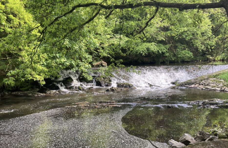
After the forest of Gosford Castle, the path runs mainly eastwards through rolling meadows and small rivers, gradually dropping in altitude from 100m to 15m.
2 points of interest
 Historical
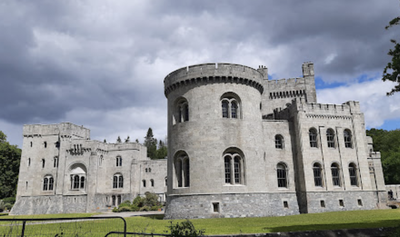
Gosford Castle
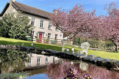
Gosford Castle is a 19th-century country house. Designed in the Neo-Norman style, it was occupied by the Earls of Gosford until 1921, when it was purchased by the Ministry of Agriculture to form a forest park. The building subsequently fell into disrepair and was sold in 2006 for conversion into private housing.
More about the building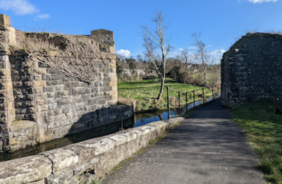 Tourist
Aqueduc sur rivière Cusher
Remains of an aqueduct on the River Cusher.
Description
Return to the entrance to the château grounds and continue north for 100m to the first crossroads:
- Turn right (signposted St Patrick) and continue on the small road for 500m until you reach a crossroads. Turn right and follow the signposted cycle path N°91 heading north-east for 3km.
- At the crossroads with a larger road, turn left following the signs for cycle route 91 and the St Patrick footpath. After 100m, turn right onto the small road, also signposted, which after 1km leads to a right turn onto a narrow, slightly grassy track. Follow the signs for a further 1km until you reach a larger road. Turn right (signposted) and continue for 300m before crossing the busy B3 road and heading straight ahead towards the hamlet of Clare.
- After the primary school, turn left (signposted) towards Tandragee. Follow this road for 600m to the first junction on the right (signposted), which crosses the River Cusher and, after the car park, leads to the path that follows the river (signposted). Follow this path for 1.5km until you reach a tarmac road.
- Turn right and follow the signs (yellow arrow + circular St Patrick symbol) for the route which descends to the south (600m) and then climbs to the north (2km). Cross the River Cusher and climb towards Tandragee. Turn right onto the main road and right again at the next roundabout (signpost). Follow the signs for Scarva for 200m, crossing the bridge.
- Turn left at the next junction (signpost). Continue for 600m before turning left (beacon) onto a small road heading north-east then east (Terryhoogan Road) until you reach a tunnel under a railway line (1500m).
- Continue along this road, which turns right (beacon) and follows the small Newry Canal to Scarva (1.5km).
- Departure : Gosford Castle
- Arrival : Saint Matthew's Church
- Towns crossed : Armagh and Banbridge
Altimetric profile
Report a problem or an error
If you have found an error on this page or if you have noticed any problems during your hike, please report them to us here:

