Downpatrick to Killyleagh
Down
31. Downpatrick to Killyleagh
Easy
5h
18,1km
+224m
-223m
Multi-day trek
Embed this item to access it offline
Most of the route is on minor roads, following cycle signs, but there are also some busy roads that require you to be vigilant.
3 points of interest
 Historical
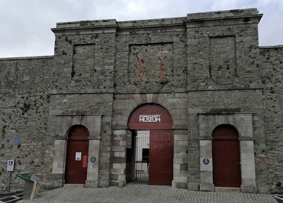
County Down Museum
A museum where the county's rich heritage comes to life in fascinating exhibitions, lively events and hands-on activities.
Find out more here.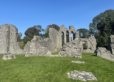 Historical
Inch Abbey
Situated on the north bank of the River Quoile, Inch Abbey was founded by John de Courcy in atonement for his destruction of Erenagah Abbey. The buildings date mainly from the twelfth and thirteenth centuries, while the church is thought to be older than that of Grey Abbey, which was built around 1193.
Find out more here. Panoramic
Delamont Country Park
An oasis of calm and serenity in this vast nature park beside the waters of Strangforg Lough.
Find out more here.
Description
From the cathedral, head north-east down English Road to the Museum of County Down:
- Turn left after the museum and then take the first left (blue Locale Way sign) to the end (small car park with information about The Mount of Down). Go down the steps against the fence and walk around The Mount of Down from the west, turning left, or straight on from the east. Where the two paths meet, continue north to a small road after a gate. Turn right to join the busy A7 road to Belfast.
- Turn left for 800m along the wide footpath, passing a modern statue of St Patrick and crossing the River Quoile.
- Turn left at the first junction onto Inch Abbey Road. Follow this road as it loops round, passing by Inch Abbey, which you can visit, and then under a road tunnel. After 4km, it joins the main A7 road again. Turn left onto the footpath for 250m.
- Turn right at the first junction towards Inch Parish (cycle route). Turn left at the first crossroads at 600m (cycle route signposted) to the next junction at 500m.
- Continue right following the cycle route signs for 2.5km to the hamlet of Scaddy.
- Turn left along the signposted cycle route for 2km until you reach the 2nd junction on the right. Turn right and continue along the cycle track for 1km until you reach a junction with a larger road. Follow Tullykin Lough Road for 1km. At the next junction, turn right (signposted for cycling) and follow the road for 500m until it crosses a busy road.
- Cross this road, turn right onto the cycle path and immediately left (Shore Road). Continue along this road for 2.5km until you enter Killyleagh at the end of the beach (cycle signs).
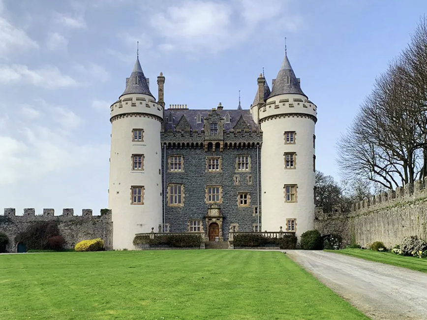
- Turn left up Irish Street and, at the top, turn right into the main street, which continues until you reach the traffic lights. Turn left to reach the visible castle.
- Departure : Holy Trinity Cathedral
- Arrival : Killyleagh Castle
- Towns crossed : Down
Altimetric profile
Report a problem or an error
If you have found an error on this page or if you have noticed any problems during your hike, please report them to us here:

