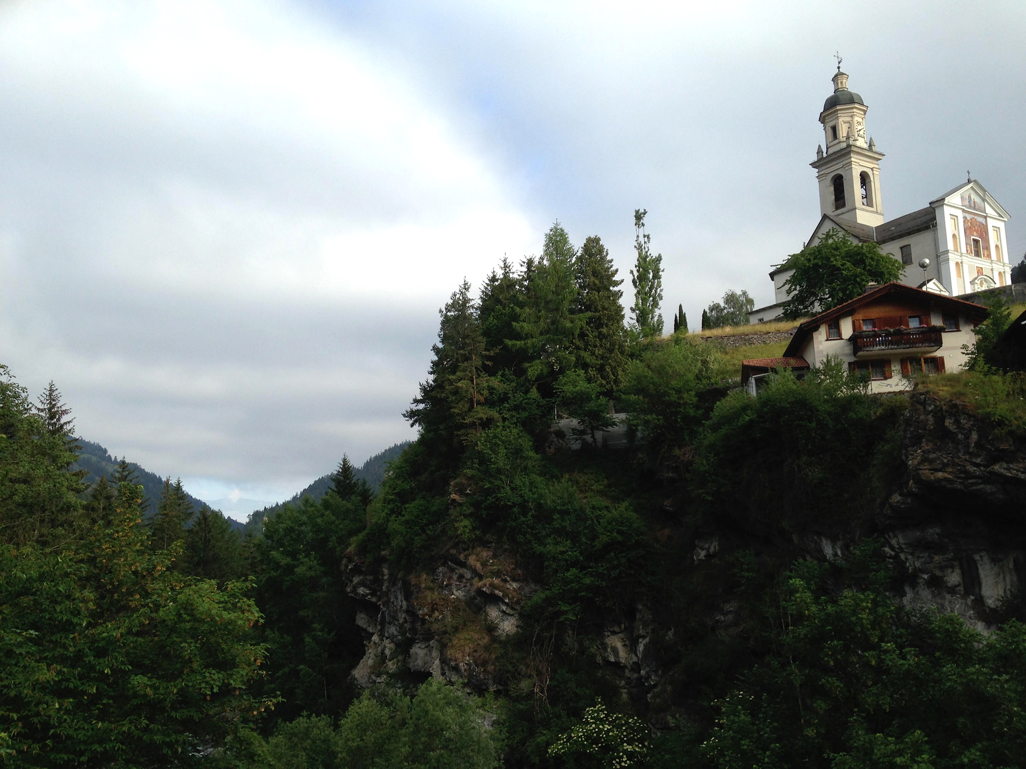
15. 610 Switzerland
The Swiss site of the IG Kolumbansweg Schweiz association offers the opportunity to follow the same path under a different presentation.
23 steps
Description
The Kolumbansweg is inspired by the journey made by St. Columban and his Irish monks in Switzerland around 610. Although St. Colomban is not well known, Swiss history and memory have retained more of the memory of one of his companions, St. Gall, who founded the flourishing city of Sankt Gallen.
This 480km course is proposed in 21 stages of 24km average with 2 variants:
- Basel-Rheinfelden: 21km
- Rheinfelden-Laufenburg: 29km
- Laufenburg-Koblenz: 21km
- Koblenz-Baden: 26km
- Baden-Zurich: 27km
- Zurich-Wädenswil: 25km
- Wädenswil-Rapperswil: 17km
- Rapperswil-Wattwil: 27km
- Variant: Wädenswill-Tuggen: 27km
- Variant: Tuggen-Wattwil: 24km
- Wattwil-Flawil: 19km
- Flawil-Sankt Gallen: 22km
- Sankt Gallen-Rorschach: 23km
- Rorschach-Bregenz: 31km
- Bregenz-Hohenems: 23km
- Hohenems-Feldkirch: 23km
- Feldkirch-Balzers: 26km
- Balzers-Chur: 33km
- Chur-Lenzerheide: 20km
- Lenzerheide-Savognin: 23km
- Savognin-Bivio: 21km
- Bivio-Vicosoprano: 20km
- Vicosoprano-Castasegna: 13km
- Departure : 2701 Basel (France / Switzerland border)
- Arrival : 7608 Castasegna (Swiss / Italian border)
- Towns crossed : Basel-Stadt, Basel-Landschaft, Baden-Württemberg, Aargau, Zürich, Schwyz, Sankt Gallen, Appenzell Ausserrhoden, Thurgau, Mauren, Eschen, Gamprin, Schaan, Planken, Valduz, Triesen, Balzers, and Graubünden
Altimetric profile
Access and parking
The itinerary comes from France but it is possible to start it in Basel, which offers all the types of public transport in a large city: bus, train and plane.
Arrival in Castasegna, a Swiss village on the generally Italian side of the Alps, is accessible by bus either to go back to Switzerland (St Moritz) or down to Italy (Chievanna) where it is possible to continue by train.
Report a problem or an error
If you have found an error on this page or if you have noticed any problems during your hike, please report them to us here:


