Lenzerheide to Savognin
Graubünden
20. Lenzerheide to Savognin
Medium
7h
22,9km
+984m
-1260m
Step
Embed this item to access it offline
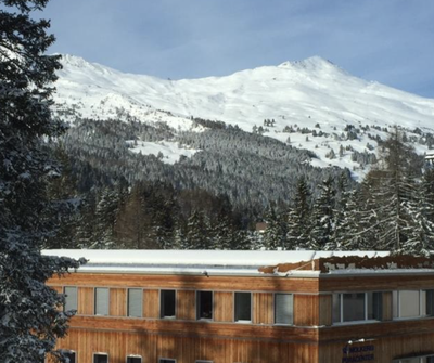
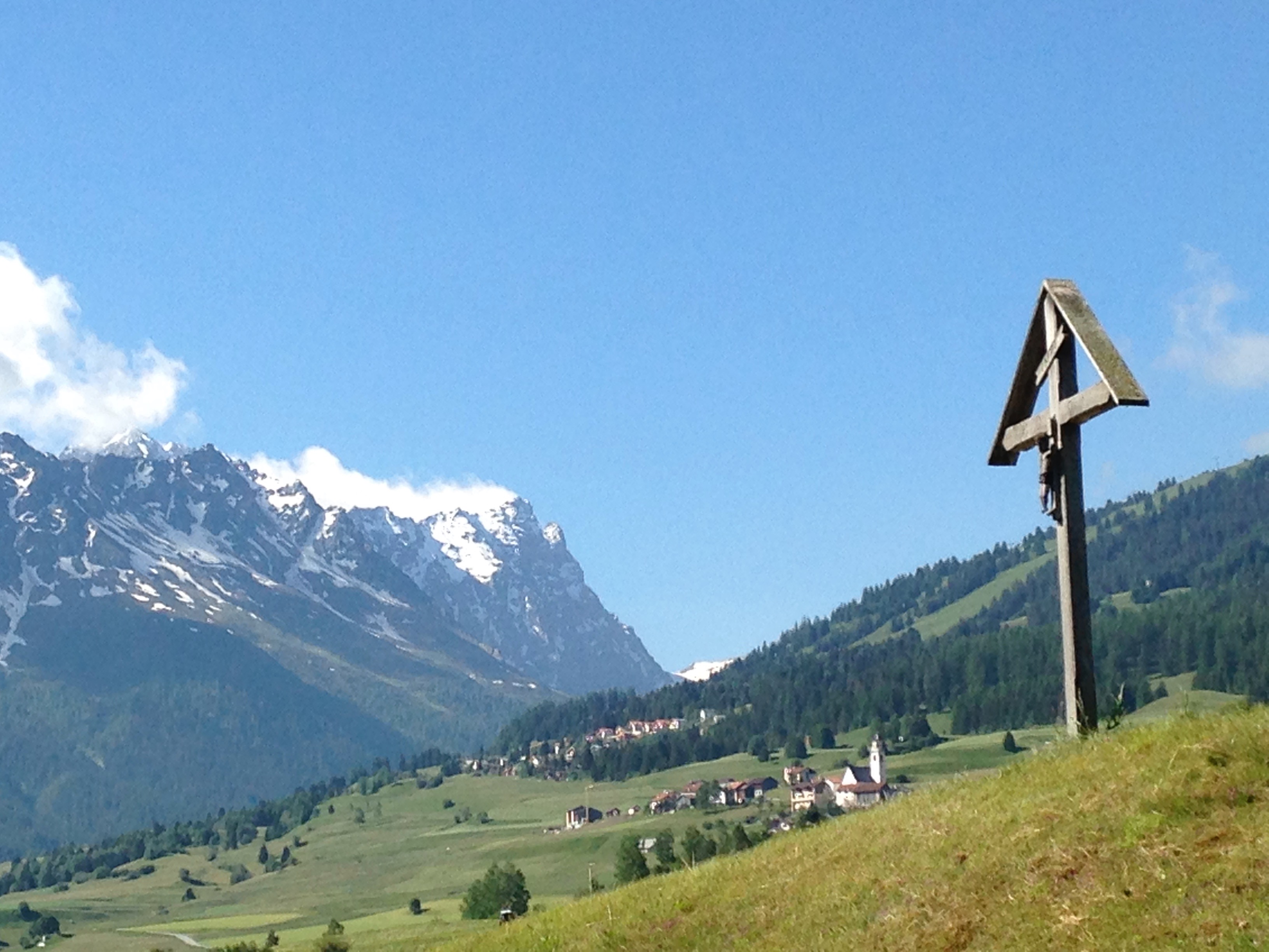
The stage begins with a descent to the Albula valley where the language changes with the gradual replacement of German by Romansh. Then, it climbs steeply upwards from Tiefencastel to the mountain pastures where the mountain flora is enriched.
3 points of interest
Salouf HistoricalSalouf, Baselgia San Gieri
Mountain church in Salouf. The presence of man dates back to the Bronze Age around 2100 B.C. on a hill visible from afar, on the north side of the present village. Remains of Roman settlements dating from the 1st century AD have also been documented. In the Middle Ages there was probably a Rhaeto-Roman settlement near the present hamlet of Del. Towards the end of the 13th century, when the first German-speaking Walser settled in the valley, they settled there as did the Walser, mainly in the upper half of the valley and the side valleys.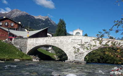
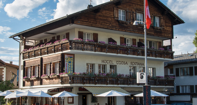
Savognin HistoricalSavognin
Savognin is an old mountain village in Graubünden. On the hill to the south of the village there was already an important village in the Bronze Age. Discoveries from different periods between 1800 and 1000 BC show the existence of village remains. It was only in 1960 that the town began to become a tourist resort, with the construction of hotels, holiday apartments and cable cars that changed the urban landscape in a lasting way.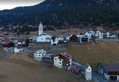
Tinizong HistoricalTinizong
Tinizong was already mentioned in a 3rd century Roman street directory, Tinizong. In the Middle Ages, the village occupied an important position as a transshipment point on the roads over the Septimer and Julier Passes.
Description
From the church, join the main road and cross the station southwards to a car park and a wood on the right side of the axis:
- Turn right (Clavadoiras) and follow the road on the track below in the meadows. The itinerary goes up on the road for a while at a chapel and up to a car park in the forest before Lantsch.
- Turn right and left at the end of the parking lot. The marked trail joins the western edge of Lantsch, enters (Crapausa and Bot) to the church and exits to the south (Surnvoi and in the Sot Pardi axis). Shortly afterwards, the path descends steeply into the valley between cliffs to reach Alvaschein after three important bends to lose altitude. Cross the village (Veia Nivagi) to reach the main road (Hauptstrasse), turn right and take the first street on the left (fountain and red and white signs). The route followed N°33 Via Albula/Bernina and N°64 Via Sett leads to the bottom of the Albula Valley in Tiefencastel reached by road N°417 (pavement).
- Cross the bridge on the right, go up towards the church (Julierstrasse) and take the first street on the right (Kirchestrasse). Continue in the axis (Monserstrasse) to cross a stream. After the rocks behind the bridge, turn left into path N°64 which climbs into the mountain pastures and its hamlets (Mon, Del and Salouf).
- In Salouf, leave signposting N°64 which rises in the mountain pastures at 1350m but regularly descend towards the valley by road N°712.17 (Cunterstrasse) to the bridge before Cunter.
- After the bridge, turn right, follow the Gelgia river and find route N°64 on a footbridge.
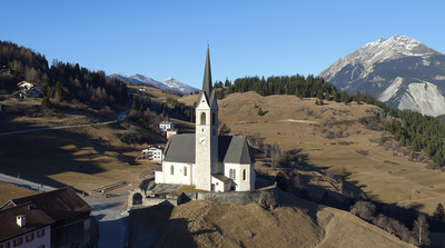
- After this footbridge, take the first path to the left and then to the right, which overlooks the Lai Barnagn lake and arrives on the Veia Sandeilas which leads to the Son Mitgel church.
- Departure : Church of San Carlo, Plaz Baselgia, 7078 Lenzerheide
- Arrival : Church Son Mitgel, Stradung, 7460 Savognin
- Towns crossed : Graubünden
Altimetric profile
Report a problem or an error
If you have found an error on this page or if you have noticed any problems during your hike, please report them to us here: