Savognin to Bivio
Graubünden
21. Savognin to Bivio
Difficult
7h
21,1km
+1436m
-871m
Step
Embed this item to access it offline
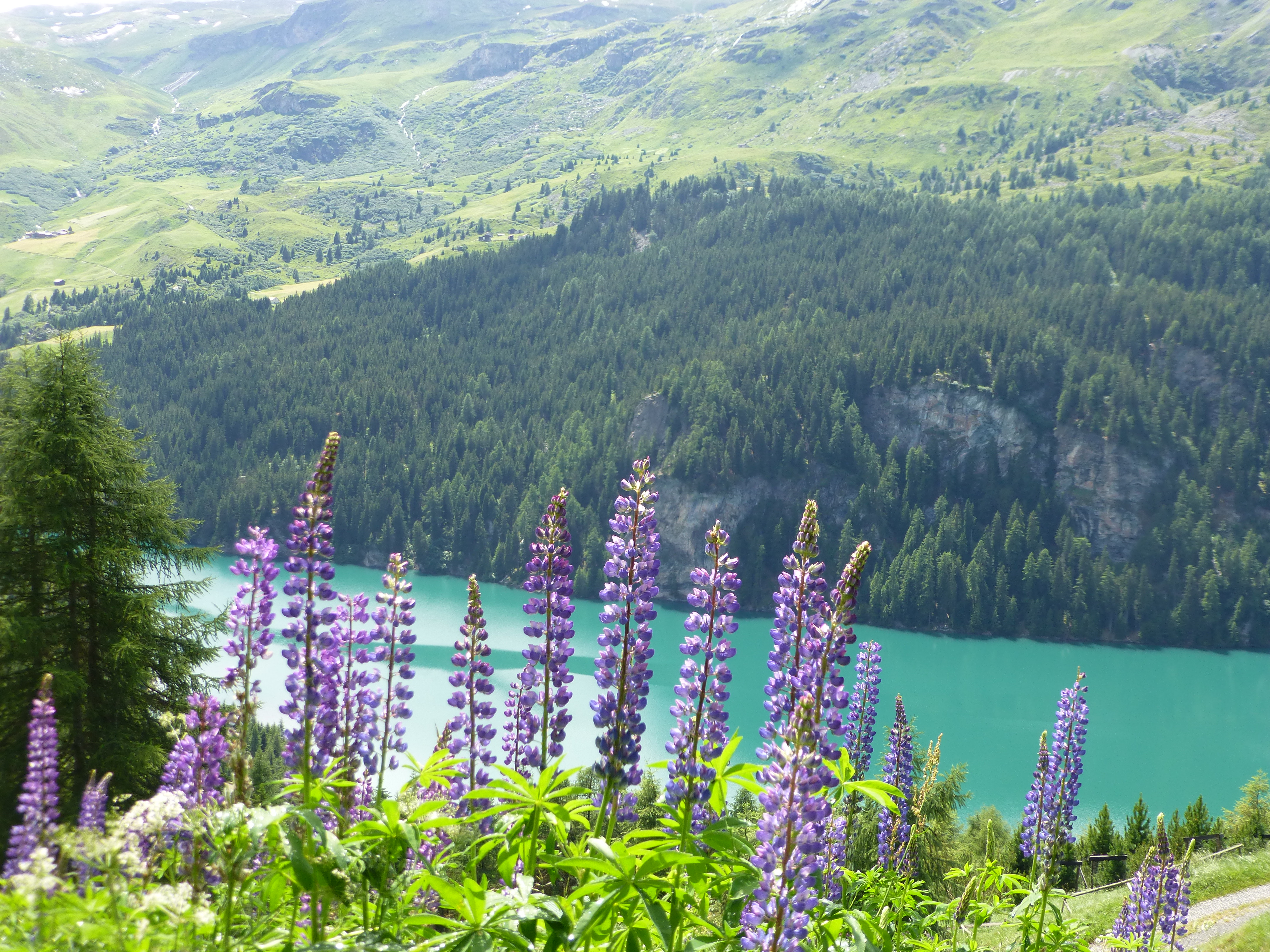
This mountain stage exceeds 2000m in altitude, an opportunity to discover mountain pastures with very specific flora and magnificent landscapes on the high mountains that define the borders.
2 points of interest
Alp Flix PanoramicAlp Flix
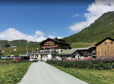
After 800m of ascent to the alpine pastures, Alp Flix lies on a plateau often called the treasure island of biodiversity in an impressive natural setting. It is the starting point for many hikes in summer and winter. To shorten the stage, it is possible to spend the night on Alp Flix in a mountain hotel.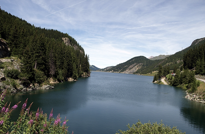
Marmorera HistoricalMarmorera
The old village of Marmorera has been inhabited since the Middle Ages. After the Second World War, Marmorera offered the city of Zurich the concession of a reservoir for the production of electricity on favourable terms. With dubious methods and against the strong resistance of a minority, the Zurich emissary succeeded in convincing the majority of the village's inhabitants to abandon their native village. The sinking of the old village began in 1954 after all the buildings were destroyed: the church, the school, 29 houses and 52 stables. The cemetery was supposed to be concreted, but the inhabitants managed to exhume the dead and bury them a second time in a new cemetery near the village of Marmorera rebuilt on the present site. This cemetery is an important memorial to this extraordinary event in Switzerland.
Description
At the fountain in the church square, turn left to join the Veia Tgaplottas and then the first street on the right Veia Sur Ual. At this point, the road N°64 which goes straight up is abandoned for a while. Leave the village by the Veia Purmaglera (2nd on the right) and follow the forest to a ravine:
- Take the path on the left which joins the itinerary N°64. After Tinizong, the routes N°25 Senda Segantini and N°64 ViaSett go up into the mountains to go around a deep ravine (Ragn d'Err) and reach the hamlet of Plaz Beischen (1546m).
- Continue on the routes N°25 and 64 which go up to the left in the upper alpine pastures, pass under the Alp Surnegn (1880m), cross the ravine of the Ragn digl Plaz before reaching the Alp digl Plaz (1862m).
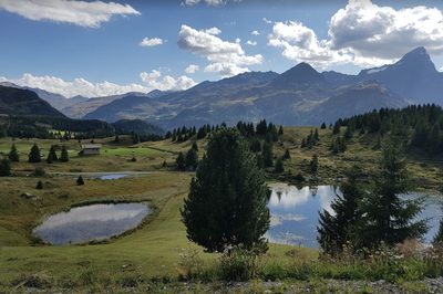
- The route then follows the upper edge of the forest to the hamlet of Ruigna (1968m). The trail passes near small mountain lakes (Lais Blos 1960m), crosses the hamlets of Cuorts (1962m) and Tgalucas (1969m) to reach the highest point of the stage (2000m) before Tga d'Meir.
- By the marked path, go down by Salategnas (1976m) and two successive valleys. The route continues in a balcony at an altitude of 1850m above the artificial lake of Marmorera (1616m) to the new village of Marmorera.
- Do not go up on the left in the mountain pastures with the N°25 and 64 but go down towards the village. At the second bend, continue left in the axis on the path that crosses a ravine and continues to the mountainside above the lake and then the Gelgia river. Connected by routes N°25 and 64, the path crosses the stream and joins road N°3.
- Reach Bivio by road. The visible church is on the left side of the village (second street on the left after the bridge over the Beiva).
- Departure : Son Mitgel Church, Stradung, 7460 Savognin
- Arrival : Church, 7457 Bivio
- Towns crossed : Graubünden
Altimetric profile
Report a problem or an error
If you have found an error on this page or if you have noticed any problems during your hike, please report them to us here: