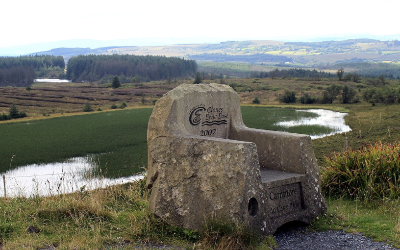
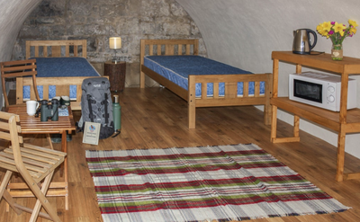
Crom to Carnmore Viewpoint

Fermanagh
19. Crom to Carnmore Viewpoint
Medium
7h
23,1km
+495m
-245m
Multi-day trek
Embed this item to access it offline
The stage begins on quiet country roads and ends on forest paths.
Description
From the campsite, head north up the track that runs along the edge of the forest, then cross it after a right-hand bend. This track then leads to a tarmac road, the access road to the Crom estate:
- Leave the park and continue along this road, turning left at the 1st crossroads and left at the 2nd junction. Continue along the main road until you come to a larger road (signposted on the ground). Turn left onto this road and continue to the next junction with an even larger road (signposted).
- Turn right east towards Newton-Butler until you cross a busy A34 road. Turn right south towards Newton-Butler for 200m.
- Turn left onto a small road (Lettergreen Road) heading north. At the next crossroads stay on the main route until you come to a larger road (Kilmacbrack Road).
- Turn right and then immediately left onto Mulnahorn Road. Continue along this road, which bends 90° to the right for a moment, before crossing a larger road (signposted) (Cloghagaddy Road) on the left. At the junction with Dernawilt Road, continue straight ahead until you come to a small wood.
- Turn right (Aghanagloch Road) then go left up to the edge of the forest.
- As you enter a new forest, turn right (Ulster Way). At the next crossroads, turn left and then immediately right, heading north-east, to enter the forest and later reach a small tarmac road.
- Turn left and then immediately right onto Drumshancorick Road, which follows a stream for approximately 2.5km. At a 90° bend to the right, turn left onto the path marked by large stones and follow it through the woods until it crosses a tarmac road.
- Turn left to reach the finish car park (500m on the right).
- Departure : Crom Visitor Centre
- Arrival : Parking Carnmore
- Towns crossed : Fermanagh
Altimetric profile
Report a problem or an error
If you have found an error on this page or if you have noticed any problems during your hike, please report them to us here:

