Newry to Rostrevor
Newry and Mourne
26. Newry to Rostrevor
Medium
6h
18km
+412m
-407m
Multi-day trek
Embed this item to access it offline
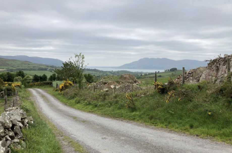
After regularly following the Newry Canal, the stage offers a gradual climb into the foothills of the Mourne Mountains (220m above sea level) before descending to sea level. Above all, it offers magnificent views of these two areas.
2 points of interest
 Cultural
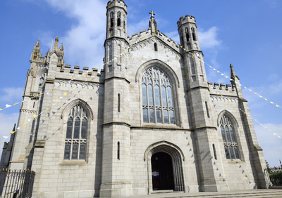
St Patrick's and St Colman's Cathedral
The cathedral, the seat of the Catholic diocese, was begun in 1825 and completed in 1829, in a neo-Gothic style. It was enlarged and embellished by Bishop Henry O'Neill in 1901.
Find out more here.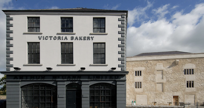 Cultural
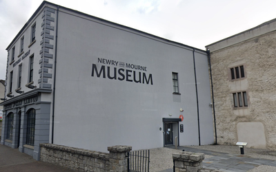
Newry and Mourne Museum
Admission to the museum is free and open from 10am to 4.30pm, Tuesday to Saturday.
Find out more about the museum.
Description
From the cathedral, continue southwards for 300m until you reach a major junction marked by numerous traffic lights:
- Cross the 4-lane road at the pedestrian crossings and turn left onto the pavement opposite. Before the next set of traffic lights, turn right onto the pedestrian subway which crosses under the road and reaches Abbey Way (St Patrick's Way markings). Continue along this road for 1.5km, following the signs.
- At the stop sign after a quarry (on the right of the road going downhill), turn left and climb for 500m to the next stop sign. Turn right and continue for 1.5km to the signposted crossroads. Turn left for 500m, changing direction twice.
- At the next crossroads, turn left and head north-east for 1.2km. At the junction with Derryleckagh Road, turn right and then, after 100m, left (signposted) onto the small road that runs parallel to the main road, which you will find again after 700m.
- At the junction with Bridge Road, turn left, then right after 100m (signposted)S Follow this road with its many bends for 2.5km until you reach a stop sign.
- Turn right and then immediately left onto the larger road. Cross the bridge and continue for 250m to turn right onto Levallyreagh Road (signposted). Continue on this road for 2km.
- Leave the track on the right and continue downhill towards Rostrevor.
- At the crossroads in town, turn left (signposted) to reach the church visible on the left.
- Departure : Cathedral
- Arrival : Saint-Bronach church
- Towns crossed : Newry and Mourne and Louth
Altimetric profile
Report a problem or an error
If you have found an error on this page or if you have noticed any problems during your hike, please report them to us here:

