Sant'Imento to Pieve di Verdeto
Emilia-Romagna
18. Sant'Imento to Pieve di Verdeto
Easy
6h
21,4km
+358m
-101m
Step
Embed this item to access it offline
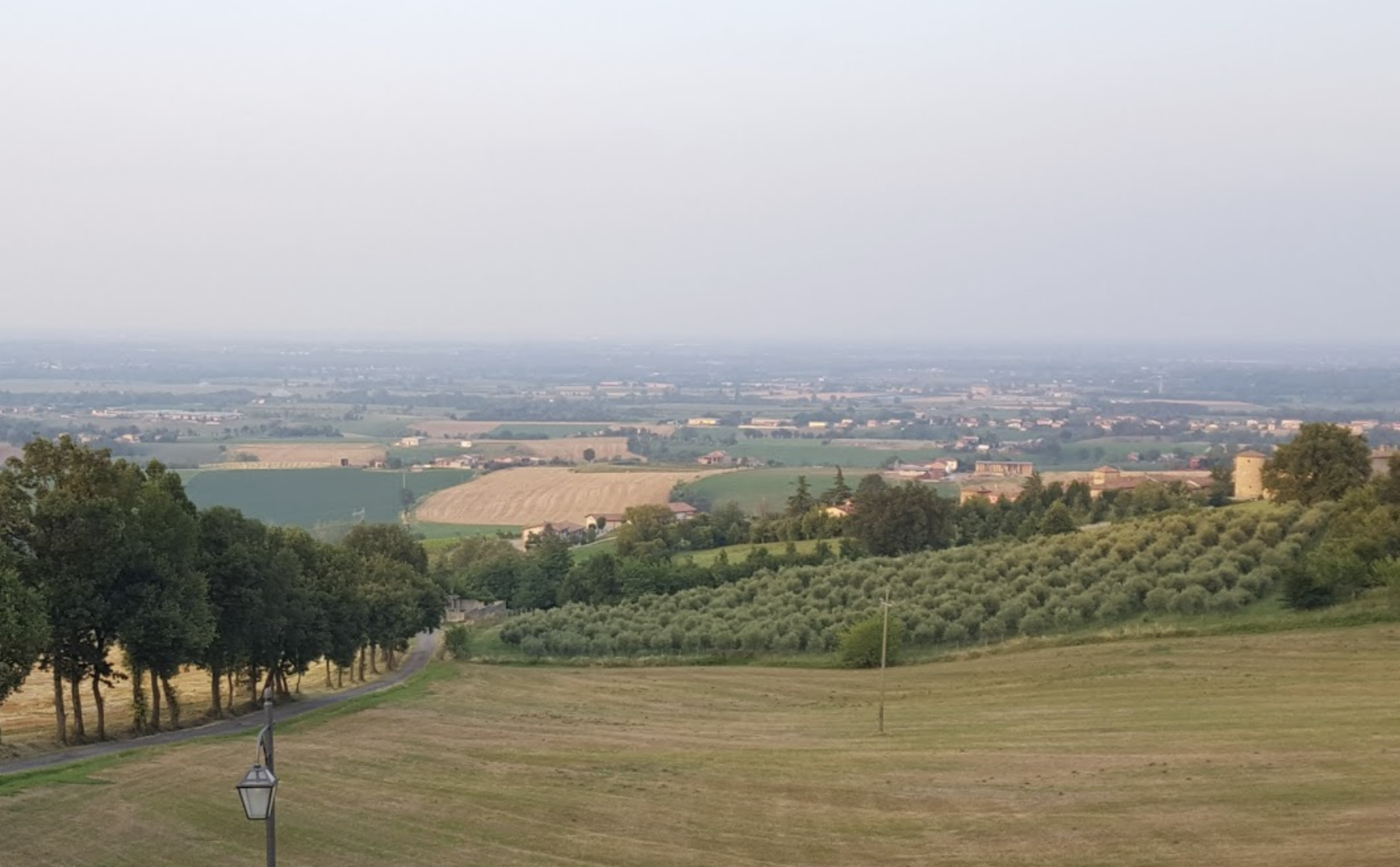
End of the Po plain to find at the end of the stage relief and forest with the first foothills of the Apennines in which Bobbio hides, the final destination of this long journey.
Description
South of the church, turn right onto the main road (SP13) which turns left after 100m :
- Follow the direction "Via Po en vélo" on the SP13, leave the village after the cemetery and continue on this road leaving the hamlet of Bastia on the left and passing over the motorway after 2km. Continue south to the first dirt track on the right, 100m before the railway.
- Turn right onto this track, which runs parallel to the railway line and follows it to its end, turn left over the railway crossing into Rottofreno, past the church of San Michele and through the village heading south to the hamlet of Centora. After turning right and then left, the Via Roma continues to Campremoldo di Sotto and then turns right at the Trattoria bar (towards Borgonovo). Continue on the SP48 until you reach a roundabout where the road (second road on the right towards Campremoldo di Sopra) continues south.
- At the next crossroads, the SP48 turns left (towards Agazzano), continue straight on the small road (towards Campremoldo di Sopra). At the next stop sign, at 1500m, cross the road and go straight ahead towards the Shit Museum on the left. Continue for the first two kilometres, crossing the Lussino stream. The next two kilometres lead to a crossing of the Luretta stream.
- From this point, the road begins to climb gradually along the stream left to reach the entrance to Agazzano marked by the intersection with the main road and the cemetery on the right. At the next roundabout, continue on towards Agazzano and enter the village along Via Roma. Cross the village through two squares (Piazza Giovanni XXIII and Europa), following the signs for Via Columbani. The Via John Fitzgerald Kennedy leads to the exit of the village, which is nicely paved and where the SP7 is followed for 450m.
- Turn right onto the dirt track (signposted) which climbs up and meets a small tarmac road. Turn right and 150m further on at a Y-junction take the path on the left which again leads to a small road after a kilometre. At the first fork in the road, turn left.
- After 150 m turn right onto the path marked "Antica Pieve di Verdeto" to reach your destination.
- Departure : Church San Giovanni Batista, Via Castello, 29010 Sant'Imento
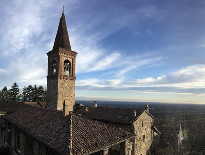
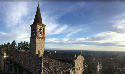
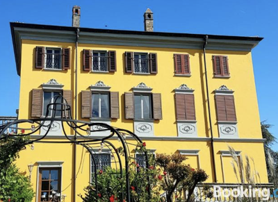
- Arrival : Church di San Tommaso Apostolo, Via Lanfranco Giovanni 1, 29010 Località Verdeto
- Towns crossed : Emilia-Romagna
Altimetric profile
Transport
Train:
Rottefreno:
Trenord,
Rottofreno station (3,5 km from Santimento),
line R34 with connections to Piacenza, Pavia and Milan,
trenord.it.
Bus:
Campremoldo di Sopra:
Seta,
line E1 with connections to Piacenza,
tel 840-00.02.16 / whatsapp 334-2194058 (Mon-Sat 7-19),
setaweb.it.
Agazzano:
Seta,
lines E4-E6-E14. connections to Piacenza,
tel 840-000216 / whatsapp 334-2194058 (Mon-Sat 7-19),
setaweb.it.
Report a problem or an error
If you have found an error on this page or if you have noticed any problems during your hike, please report them to us here: