Pieve di Verdeto to San Giorgio di Bobbiano
Emilia-Romagna
19. Pieve di Verdeto to San Giorgio di Bobbiano
Medium
6h
20,1km
+755m
-627m
Step
Embed this item to access it offline
Progressive ascent from 300m to 750m of altitude in the Apennines by small quiet mountain roads that follow the contours without too much difference in altitude.
3 points of interest
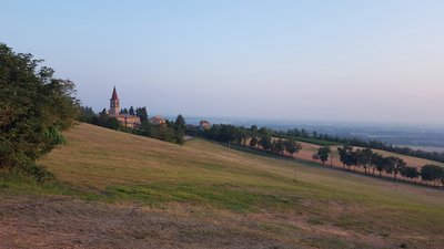
Pieve di Verdeto - Amis St Colomban PanoramicPieve di Verdeto
Beautiful panorama from the first hills of the Oltre Pavese in the middle of the vineyards.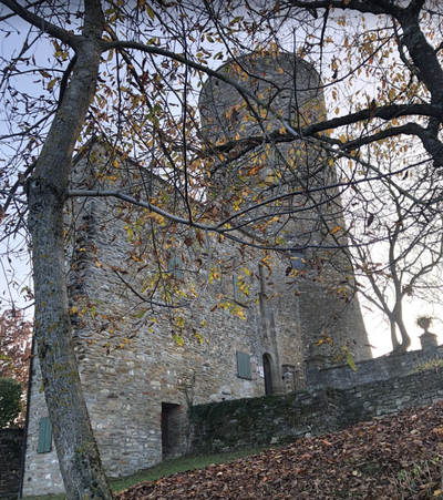 Historical
Monteventano Castle
Due to its strategic position, the castle built in the year 1000 was an important fortification which was destroyed by Frederick Barbarossa in 1164. It was rebuilt several times afterwards and has belonged to various families. The last renovation was in 1990. Its tower is 30m high. Privately owned.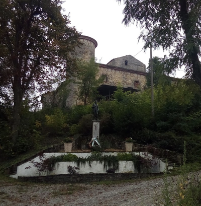 Historical
Monticello Castle
The castle is located in a strategic position on a ridge between the Val Trebbia and the Val Luretta.
Its existence is mentioned as early as 1372.
During the Second World War, on 15 and 16 April 1945, it was the scene of a battle between the resistance and the forces in power. A monument commemorates this battle.
Description
From the church, head south on the finishing stretch until you reach the junction with a small tarmac road:
- Turn right onto this road (strada Montecanino) which climbs the ridge line and runs alongside farms. In Vezzanino, continue on the main road to the left before passing under Montecanino and descend southwards without worrying about the right-hand junctions until you reach Poggio Arena.
- In a marked bend to the right of the SP65 road, take the stone path on the left towards Poggio Arena. On the descent to the next crossroads, turn left, leaving the hamlets of Pomaro and Basantico on the left to reach a tarmac road at the bottom of the valley.
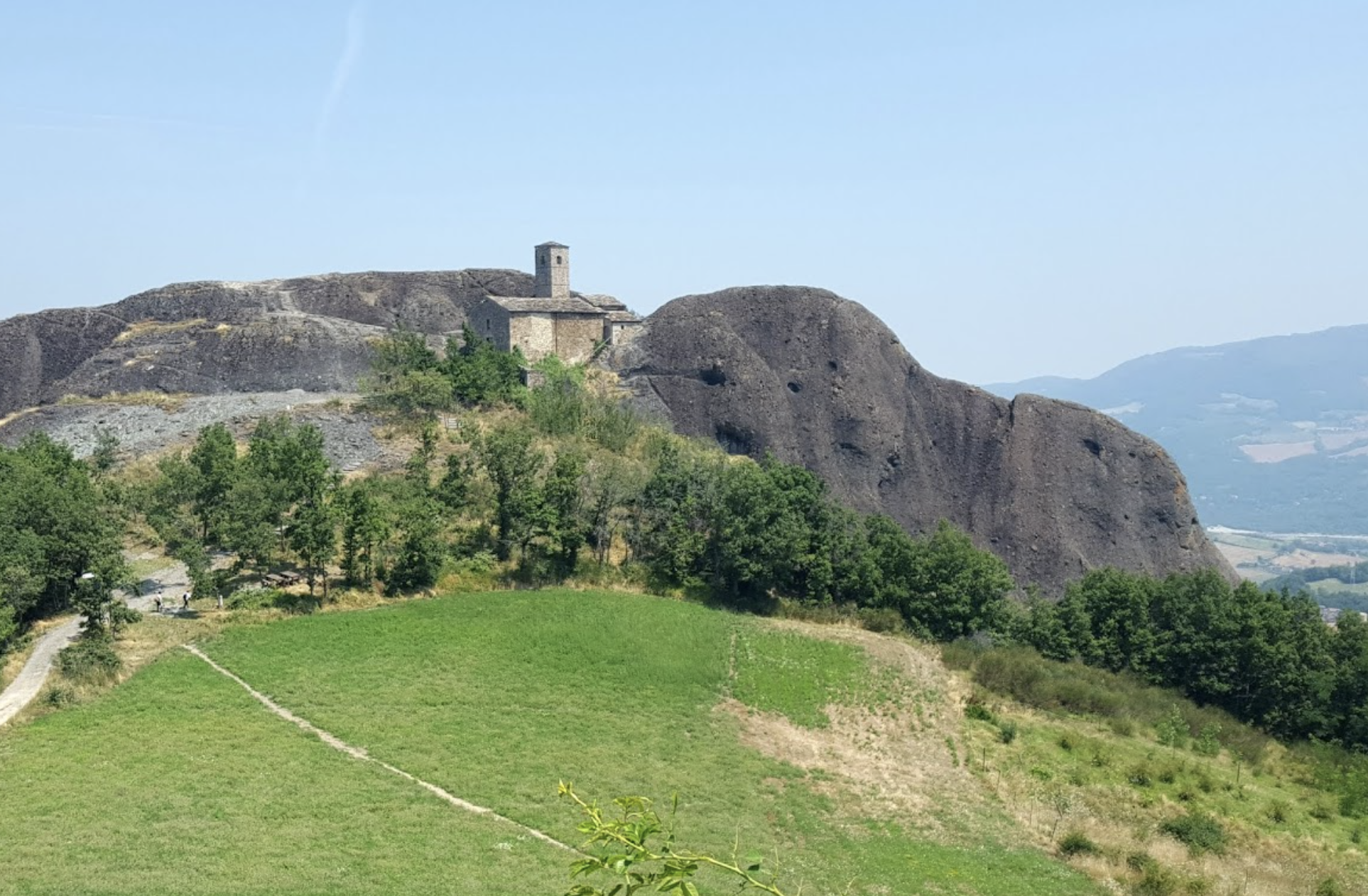
- Turn left on this road towards Piozzano, which you follow until the next crossroads, where you change direction completely, turning right towards Montevantano basso. Cross the bridge over the Torrento Luretta, the hamlet of Guada and continue southwards, leaving the hamlets of Montebello, Monteventano and Bosco Nuovo on the right. Follow the road along the stream, which is forded or crossed by a bridge, and then climbs upwards in a winding path towards the Val Luretta farmhouse. Turn right onto the stone path that climbs towards the hamlet of Fragola before reaching the castle of Monticello at a fountain and a monument.
- Turn right onto the road which climbs gently along the ridge until you reach the hamlet of La Moia, where it suddenly straightens out and turns westwards into the houses of Corradini. Continue on this small road southwards until the second bend where it leaves the power line for good. Continue west to the hamlet of Case Rotte.
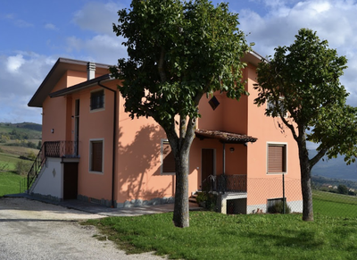
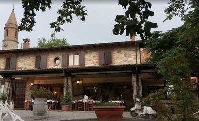
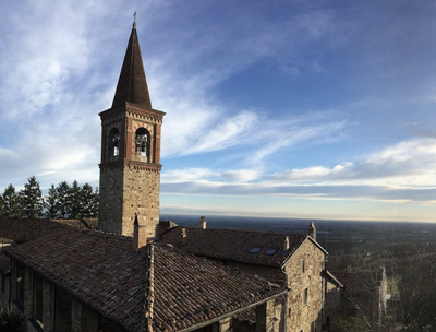
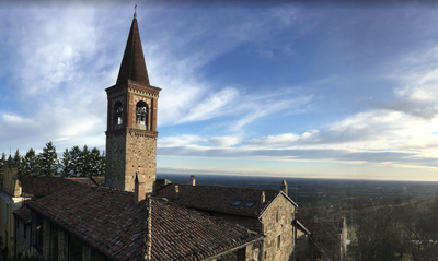
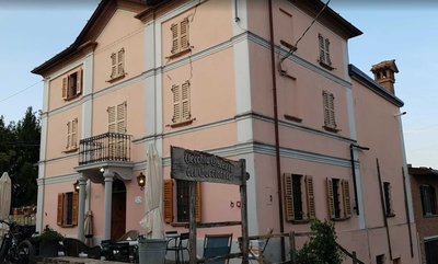
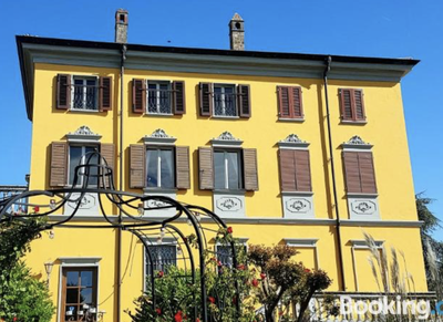
- Turn left before the house and walk south down the path through the fields. At the end of the path, turn right and then left to reach the houses in Cella, which are crossed by two successive bends. To go directly to the Agriturismo le Due Noci (yellow houses), go down and take the first fork on the right. Otherwise, take the next asphalt road (SP63), turn right and reach the church and the nearby tower, which are clearly visible at 500m.
- Departure : Church di San Tommaso Apostolo, Via Lanfranco Giovanni 1, 29010 Località Verdeto
- Arrival : Church San Michele Arcangelo, 29020 Bobbiano
- Towns crossed : Emilia-Romagna
Altimetric profile
Transport
Bus:
Travo :
Seta, Haltestelle Travo Casino Agnelli SS 45,
Linie EI7 Verbindungen nach Piacenza und Bobbio,
Linie E21 Verbindungen nach Piacenza, Tel. 840-00.02.16/whatsapp
334-21.94.058 (Mo-Sa 7-19 Uhr), setaweb.it.
Travo :
Seta, Haltestelle Travo Casino Agnelli SS 45,
Linie EI7 Verbindungen nach Piacenza und Bobbio,
Linie E21 Verbindungen nach Piacenza, Tel. 840-00.02.16/whatsapp
334-21.94.058 (Mo-Sa 7-19 Uhr), setaweb.it.
Report a problem or an error
If you have found an error on this page or if you have noticed any problems during your hike, please report them to us here:

