Koblenz to Baden
Aargau
4. Koblenz to Baden
Medium
7h
25,4km
+439m
-384m
Step
Embed this item to access it offline
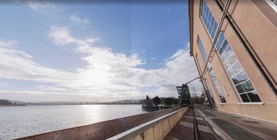
After Koblenz, the route heads south, following in the first half the Aare, a tributary of the Rhine, and in the second half the Limmat, which flows out of Lake Zurich. This natural route to Zurich, peaceful at the time of St Colomban, is now very popular and industrialized but it also preserves a rich heritage to be discovered along the river.
3 points of interest
barrage Klingnau PanoramicKlingnau Dam
The Klingnau dam allows you to cross the Aare on foot or by bike on the other side of the river.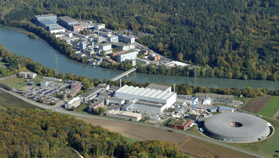
Institut Paul Scherrer TouristPaul Scherrer Institute
The Paul Scherrer Institute PSI is the largest research centre for natural and technical sciences in Switzerland.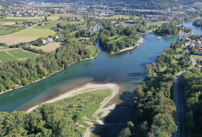
Château eau Suisse PanoramicWater tower of Switzerland
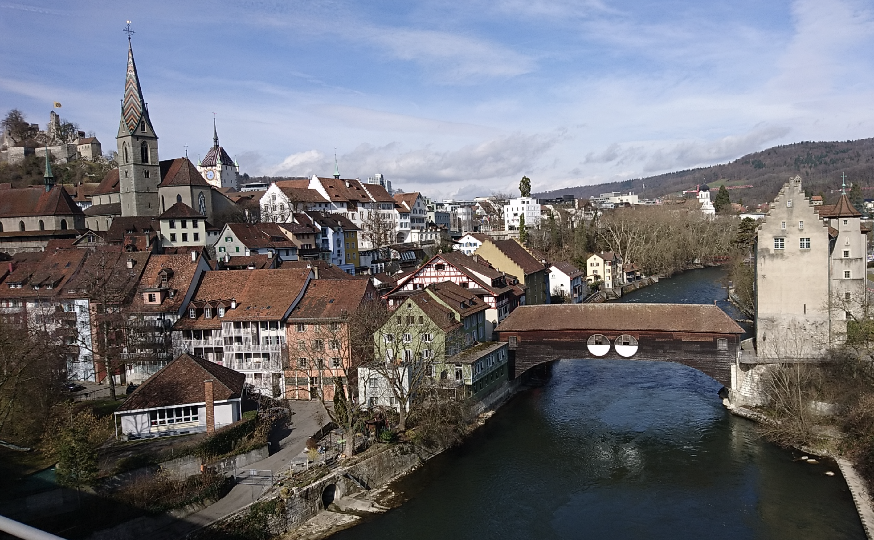
The confluence of the Limmat, Reuss and Aare rivers, which then flows into the Rhine, is considered to be a water tower of Switzerland, as the combined basins of these rivers cover 40% of Switzerland.
Description
From Koblenz, return in the opposite direction to the road bridge over the Aare by the bicycle / pedestrian track on the left of the road. Before the footbridge, go down the stairs on the left to reach the bank of the Aare:
- Go up the river to the railway bridge. At this stage, two possibilities are available: From the left bank of the Aare: cross the river by the parallel footbridge reached by a staircase and go down to the end towards the road. At the tunnel, turn left and cross the road to reach a parallel bicycle/pedestrian track. At the entrance to Gippingen, leave the K448 at the first street on the left (Feldeggstrasse with the Wanderweg sign). At its end (chapel), turn left onto Stauseestrasse which leads to the waterfront. Follow the shore of Lake Klingnauer to a road bridge over the Aare River, which has returned to its normal width. By the right bank (recommended during the work period on the railway bridge): continue under the track and join route 525 around the lake with the possibility of reaching the left bank at the dam or the next bridge.
- After Kleindöttingen, the path is shaded in a loop of the Aare. Pass under Böttstein Castle with the Beznau nuclear power plant on the other side.
- At the end of the power station, turn left onto the road on the dam that crosses the Aare river, then right onto a footbridge that crosses a canal and leads to the other bank. The track passes at the foot of the Paul Scherrer Institute at a first bridge. After a particularly shady path, the next bridge is at Stilli before reaching the confluence of the Aare and the Limmat.
- At the exit of the forest, the track turns left to reach Rooststrasse. Turn right on this small road that crosses the railway track. Immediately after the level crossing, take the track on the right and follow the railway line until you reach Untersiggenthal via Auhaldenstrasse. At its end, turn right onto Steigstrasse and take the second street on the left (Austrasse) to reach the bank of the Limmat and its covered wooden bridge. Continue on this bank until you reach the next bridge.
- Go up the road, turn left, take the first street on the right (Schiffmühlestrasse) and follow the yellow Wanderweg markings (left and right twice) which lead back to the bank of the Limmat. After a dam and a bridge in Obersiggenthal, take the footbridge on the right to reach the other side.
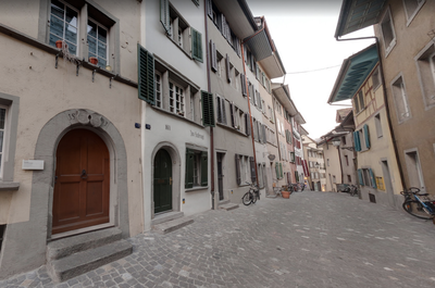
- The track follows the Limmat to a meander at Baderstrasse. Follow this street to a roundabout, continue along the axis (Oelrainstrasse) and enter the historic centre of Baden via Baustrasse and then Bahnhofstrasse to Kirchplatz.
- Departure : Roman Catholic Church, Schulstrasse, 5322 Koblenz
- Arrival : Church St Mary, Kirchplatz 8, 5400 Baden
- Towns crossed : Aargau
Altimetric profile
Report a problem or an error
If you have found an error on this page or if you have noticed any problems during your hike, please report them to us here: