6. Zurich to Wädenswil
4 points of interest
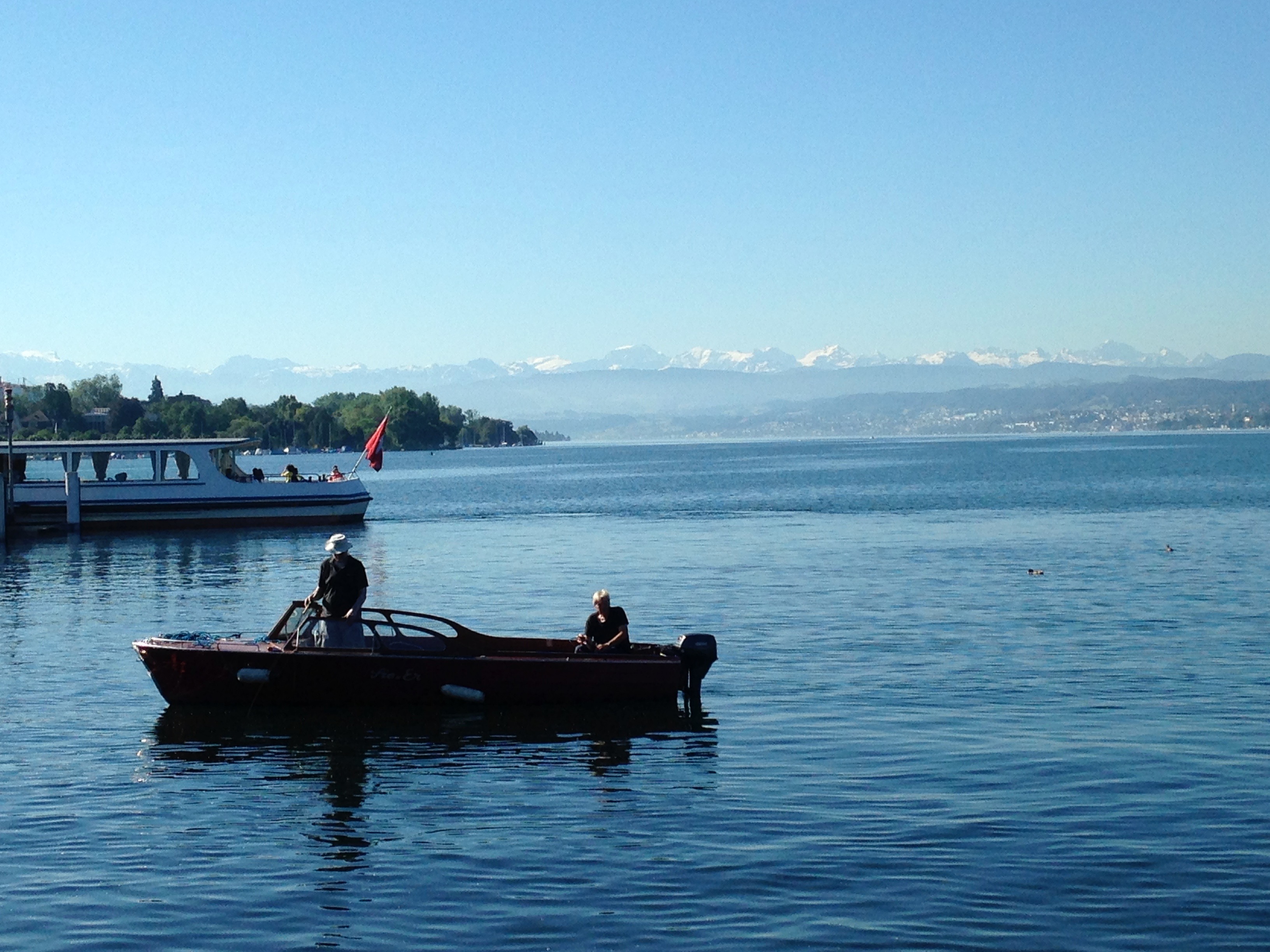
Lac de Zurich PanoramicLake Zurich
Lake Zurich is shaped like a banana, 42km long and 4km wide.
Adliswil téléphérique PanoramicAdliswil cable car
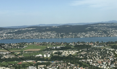
It is possible to gain height by taking a cable car up to Felsenegg, which offers a panoramic view of the surroundings of Lake Zurich.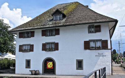
Musée local HistoricalLocal Museum
Remains show the presence of lake dwellings in the Horgen region more than 5000 years ago. With the opening of the Gotthard mule track around 1230, Horgen became an important crossroads. The local museum in Horgen tells this story.
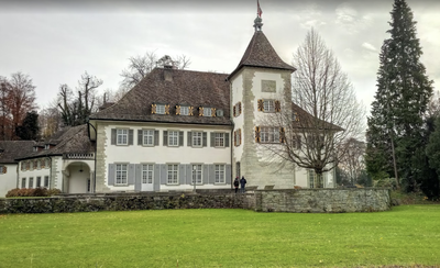
Château Au TouristCastle Au
Originally built in 1650 in the Venetian style, the castle was renovated in 1928 in neo-baroque style. It has 50 rooms with limited public access, as the castle is now mainly reserved for receptions and conferences. Its park can be visited.
Description
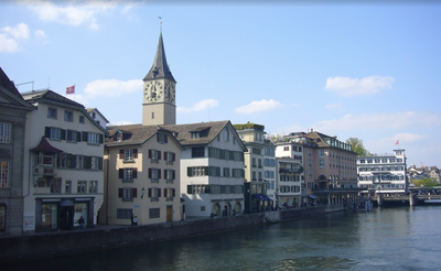
From the cathedral, join the bridge (Münsterbrücke) and turn left onto the Stadthausquai to the lake. Turn right towards the boat loading docks.
At this point, two solutions are possible:
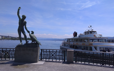
- Take a boat to Rapperswil (itinerary described in practice "by boat").
- Follow the south shore to reach Rapperswil by foot, itinerary described below.
- After the embarkation platforms, continue west, as close as possible to the water, crossing an esplanade, an arboretum, and a marina. The path joins Mythenquai, followed for 300 meters to the end of a tennis complex. Turn left to reach the shore until the end of a second marina where the coastal path ends. Rejoin the main road, Seestrasse.
- Turn right, then left to cross the railway tracks. Rejoin Widmerstrasse to the west, followed for 300 meters. Turn left onto Kalchbülhstrasse, and shortly after, take the path on the left. Follow it until it crosses Hornhaldenstrasse, turn right, then take the second street on the left, Rigistrasse. After the sanatorium, turn right onto Balderstrasse and left at the end of the street. Continue south for 2.5 km until you reach the intersection with a main road, Wachtstrasse, where you turn left.
- After the Moos school, turn right onto Eggrainweg for 150 m. Turn left onto Quellenweg, heading south for 2 km.
- Follow the forest trails for 3 km before descending towards the lake, crossing the railway tracks twice to reach the shore.
- Continue straight on Seegartenstrasse and join the "84 Zürichsee Rundweg" trail to Wädenswil.
- At the town's marina, turn right onto Hafenstrasse, which crosses the railway tracks, and immediately turn left to follow the tracks on the other side, passing the train station and taking the third street on the right (Seehofstrasse), followed by Eintrachtstrasse, which leads to the church.
- Departure : Cathedral, Grossmünsterplatz, 8001 Zürich
- Arrival : Roman Catholic Church of St. Mary, Eintrachtstrasse, 8820 Wädenswil
- Towns crossed : Zürich
Altimetric profile
Report a problem or an error
If you have found an error on this page or if you have noticed any problems during your hike, please report them to us here:
Close by6
- Accommodation
- Information