Lierna to Lecco
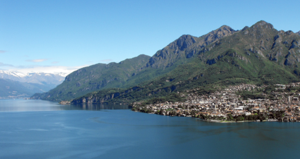
Lombardia
9. Lierna to Lecco
Medium
5h
16,3km
+609m
-636m
Step
Embed this item to access it offline
The slopes of the mountain on the lake are less steep, allowing many villages and various crops to be planted, from vines to olive trees. The last few kilometres before Lecco, it is necessary to take the train, bus or preferably the boat in the absence of a path on a very steep bank only used by a road that is dangerous for pedestrians.
5 points of interest
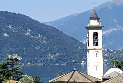 Tourist
Church of Sant'Ambrogio
Baroque church with one of the oldest Romanesque cloisters in Lombardy.
Valle Meria PanoramicMeria Valley stream
Crossing a stream with a view of the surrounding mountains
Chiesa San Giacomo CulturalChurch of San Giacomo
Chapel on the edge of the Sentiero del Variante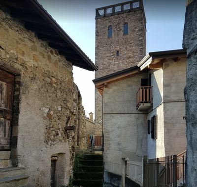
Torre del Barbarossa HistoricalBarbarossa Tower
Tower of the Middle Ages.
Chiesa San Giorgio CulturalChurch of San Giorgio
Beautiful church overlooking the lake with beautiful frescos inside.
Description
Last part of the Sentiero del Viandante SV:
- From the church of Sant'Ambrogio, take via Olcianico which climbs towards the sports fields, follow it to the roundabout marked by an oratory and continue across to the end of via Sornico. Turn slightly left into via San Michele, enter Sornico over a fortified corridor between the houses and continue until you reach the small church of San Michele (a name dear to the Lombards), a church of ancient origin, even if it is now in 18th century form.
- Cross the valley of the Buria torrent with pools and waterfalls and continue on cobblestones through the woods, passing abandoned buildings. At the next crossroads, after a calvary, go up to the left until you reach highway 36, following it without crossing it until you reach via Saioli at the chapel. Go down Via Saioli to the cemetery, turn left into Strada di San Bernardola and then left into Via di Era.
- Continue through the village of Sonvico and onto Via dell'Acqua Bianca (right-hand bend) which becomes a dirt track and crosses the Valle Meria stream. From the bridge go up a steep path that leads to a dirt road that goes up the Meria valley, turn right and after 250m turn left onto the road that, from the Al Verde restaurant, reaches the church dedicated to Sant'Antonio da Padova.
- Cross the hamlet (Lanfranconi tower house) to reach the church of San Giacomo, where a dirt and cobbled road begins that, through meadows and terraced gardens, leads to the houses of Roccolo. Cross two streams and part of the Masso forest to reach via Vittorio Veneto and the church of San Rocco in Maggiana. Take via dei Salici to its end and then at the crossroads opposite the strada per Maggiara, marked Sentiero del Viandante (SV). Go past a motorway station and follow the motorway before crossing it on a bridge (twice on the right). After a modest zig-zag, walk down Via dei Fiastelli (paved with central bricks) to reach the church of San Giorgio, an ancient church with frescoes from the 4th century.
- Turn left and follow the SV until you reach Via per Novegolo, which passes under the motorway on the left. At the second bend in the via per Novegolo, turn right at a car park onto the SV, which is paved and lined with low walls. Cross the Zerbo stream, the Borbino hamlet and the railway line to reach the end of the SV at the church of San Martino di Abbadia Lariana. Go down the stairs, cross the road to take the new section of the path opened in 2021 that leads safely to Lecco.
- Continue along the lake shore following the pedestrian/bike path until you reach the entrance to the town along via Lungolario Piave. Take the first street on the left (via Capodistria) marked by a water dispenser, then the first on the right (via Spirola) until you reach via Belvedere, which crosses the Gerenzone torrent. Continue along via Nino Bixio to reach your destination marked by the bell tower of San Nicholo.
- Departure : Church Sant’Ambrogio, Via Papa Giovanni XXIII 41, 23827 Lierna
- Arrival : Basilica San Nicolo, via San Nicolo 1, 23900 Lecco
- Towns crossed : Lombardia
Altimetric profile
Report a problem or an error
If you have found an error on this page or if you have noticed any problems during your hike, please report them to us here:
Close by16
- Information

